Hochkönig guide
- Elevation: 2941 m
- Difficulty: Walk up
- Best months to climb: July, August, September
- Convenient center: Bischofshofen
Hochkönig Climbing Notes
|
| Select a
mountain summit from the menu |
||
|
Select a Mountain Summit
|
||


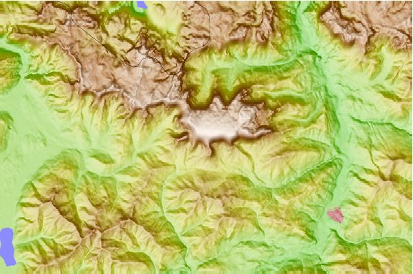
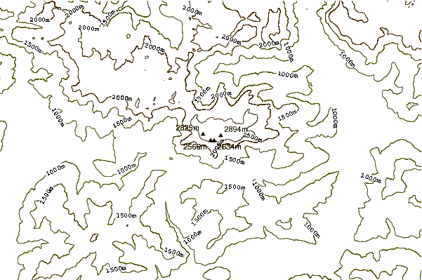
Use this relief map to navigate to mountain peaks in the area of Hochkönig.
10 other mountain peaks closest to Hochkönig:
| 1. | Watzmann (2713 m) | 17.9 km |
| 2. | Hohe Goll or Hoher Göll (2522 m) | 18.6 km |
| 3. | Kuchler Freieck (2312 m) | 18.9 km |
| 4. | Hochkalter (2607 m) | 21.6 km |
| 5. | Göll (2523 m) | 22.3 km |
| 6. | Ahornbüchsenkopf (1604 m) | 22.8 km |
| 7. | The EPIC Bikepark Leogang (1753 m) | 25.4 km |
| 8. | Schottmalhorn (Reiter Alm) (2045 m) | 27.4 km |
| 9. | Berchtesgadener Hochthron (1973 m) | 31.2 km |
| 10. | Untersberg (1972 m) | 31.9 km |


 Like us
 Follow us
 Follow us