– Lat/Long: 47.42° N 13.05° E
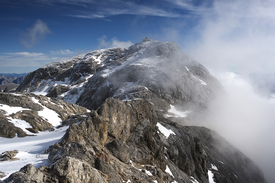
 Hochkönig
Weather Forecast, AustriaIssued: 1 pm Wed 01 May Local TimeUpdates in: hr min sUpdate imminent
HochkönigWeather Forecast, Austria
Issued: 1 pm Wed 01 May Local Time
Updates in:
Update imminent hr min s

Issued: 1 pm Wed 01 May Local Time
Updates in:
Update imminent hr min s
Days 1–4 Weather SummaryDrizzle at first, then turning colder with dusting of snow on Thu night. Freeze-thaw conditions (max 10°C on Wed afternoon, min -1°C on Fri morning). Wind will be generally light. | Days 5–7 Weather SummaryModerate rain (total 12mm) heaviest on Sun night, then becoming colder with a dusting of snow on Mon morning. Mild temperatures (max 6°C on Sat afternoon, min 2°C on Sat night). Wind will be generally light. | ||||||||||||||||
Wed 1 | Thursday 2 | Friday 3 | Saturday 4 | Sunday 5 | Monday 6 | ||||||||||||
PM | night | AM | PM | night | AM | PM | night | AM | PM | night | AM | PM | night | AM | PM | night | |
rain shwrs | some clouds | some clouds | risk tstorm | snow shwrs | light snow | cloudy | cloudy | light rain | light rain | rain shwrs | light rain | risk tstorm | light rain | light snow | light rain | rain shwrs | |
km/h | |||||||||||||||||
Wave Height Map | 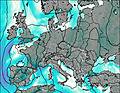 | 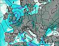 | 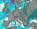 |  |  |  | |||||||||||
— | — | — | — | 1.0 | 1.0 | — | — | — | — | — | — | — | — | 1.0 | — | — | |
0.1 | — | — | 0.9 | 0.5 | — | — | — | 0.1 | 0.2 | 0.1 | 1.5 | 4 | 4 | 2.0 | 0.4 | 0.1 | |
max°C | 10 | 6 | 7 | 8 | 4 | 0 | 1 | 1 | 2 | 6 | 4 | 3 | 5 | 2 | 2 | 6 | 5 |
min°C | 9 | 4 | 5 | 7 | 0 | -1 | 0 | 0 | 1 | 5 | 2 | 3 | 3 | 2 | 2 | 3 | 3 |
7 | 0 | 2 | 4 | -2 | -3 | 0 | 0 | -1 | 2 | 1 | 3 | 3 | 2 | 1 | 1 | 3 | |
3000 | 3100 | 2750 | 2750 | 2200 | 1950 | 2250 | 2150 | 2400 | 2650 | 2400 | 2550 | 2550 | 2400 | 2400 | 2800 | 2750 | |
Cloud base (m) | 3100 | 6450 | 2500 | 2850 | 1850 | 1550 | 1550 | 1650 | 1600 | 2400 | 2600 | 1550 | 1650 | 1800 | 1550 | 1750 | 2350 |
— | — | 5:48 | — | — | 5:47 | — | — | 5:46 | — | — | 5:43 | — | — | 5:41 | — | — | |
— | 8:19 | — | — | 8:21 | — | — | 8:22 | — | — | 8:22 | — | — | 8:24 | — | — | 8:25 | |
Hochkönig Weather (Days 0-3):
The weather forecast for Hochkönig is: Drizzle at first, then turning colder with dusting of snow on Thu night. Freeze-thaw conditions (max 10°C on Wed afternoon, min -1°C on Fri morning). Wind will be generally light.
Hochkönig Weather (Days 3-6):
Moderate rain (total 12mm) heaviest on Sun night, then becoming colder with a dusting of snow on Mon morning. Mild temperatures (max 6°C on Sat afternoon, min 2°C on Sat night). Wind will be generally light.
This table gives the weather forecast for Hochkönig at the specific elevation of 2000 m. Our advanced weather models allow us to provide distinct weather forecasts for several elevations of Hochkönig. To see the weather forecasts for the other elevations, use the tab navigation above the table. For a wider overview of the weather, consult the Weather Map of Austria.
| Weather Station | Temp. | Weather | Wind | Gusts | Cloud / Visibility |
|---|---|---|---|---|---|
St. Veit IM Pongau | |||||
St. Johann IM Pongau | |||||
Zell AM See | |||||
* NOTE: not all weather observatories update at the same frequency which is the reason why some locations may show data from stations that are further away than known closer ones.
Hochkönig Photos
View all
Kitzbuhel photos (16) |
Alps photos (1434) |
photos from mountains in Austria (218) |
all photos
 Upload new photo
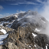
Hochkoenig
Hochkönig
 Like us
 Follow us
