– Lat/Long: 13.76° N 86.40° W
 Mogotón – Climbing, Hiking & Mountaineering information

Mogotón guide
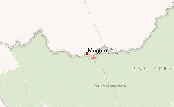
- Elevation: 6913 ft
- Difficulty:
- Best months to climb:
- Convenient center:
Mogotón Climbing NotesBe the first to submit your climbing note! Please submit any useful information about climbing Mogotón that may be useful to other climbers. Consider things such as access and accommodation at the base of Mogotón, as well as the logistics of climbing to the summit. |
| Select a
mountain summit from the menu |
||
|
Select a Mountain Summit
|
||
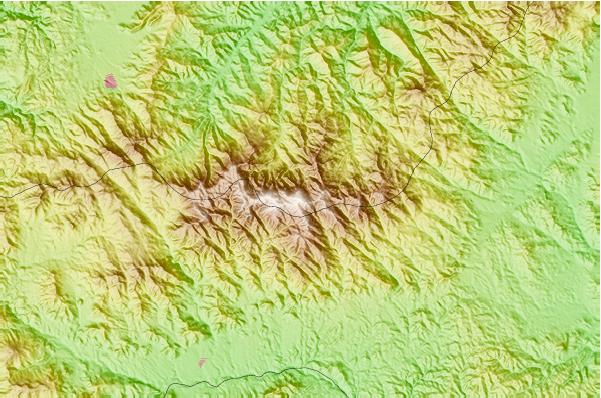
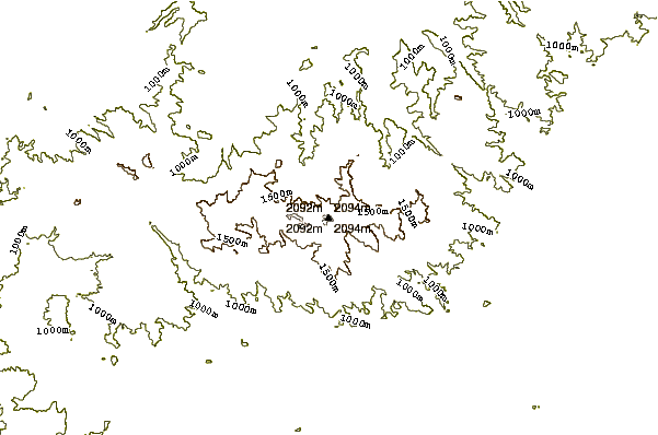
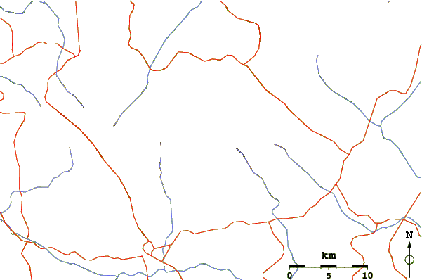
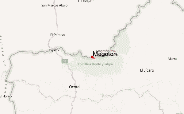
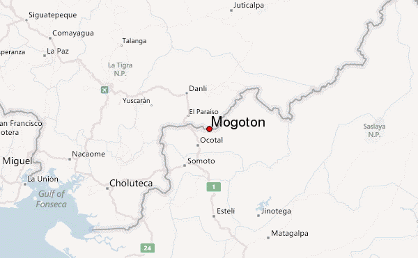
Use this relief map to navigate to mountain peaks in the area of Mogotón.
10 other mountain peaks closest to Mogotón:
| 1. | San Cristobal (5725 ft) | 84.0 miles |
| 2. | Telica (3314 ft) | 85.7 miles |
| 3. | Rota (volcano) (2730 ft) | 87.2 miles |
| 4. | Isla Zacate Grande (2100 ft) | 87.7 miles |
| 5. | Cerro Negro (2389 ft) | 89.3 miles |
| 6. | Las Pilas (3570 ft) | 89.9 miles |
| 7. | Tiger Island (2569 ft) | 90.2 miles |
| 8. | Momotombo (4127 ft) | 93.1 miles |
| 9. | Cosigüina (2861 ft) | 95.6 miles |
| 10. | Conchagüita (1657 ft) | 99.1 miles |

