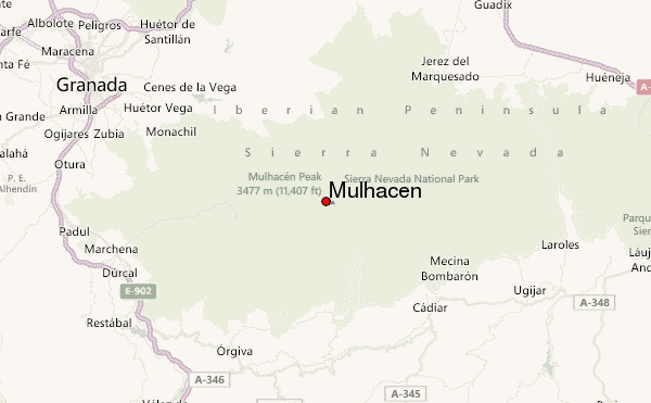
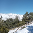
– Lat/Long: 37.05° N 3.31° W

SpMulhacen – Climbing, Hiking & Mountaineering information

Placeholder

Mulhacen mountain guide

Mulhacen from the south valley in fall photo

Mulhacen

Photo credit: Enrique Ribas

Mulhacen photo

Mulhacen

Photo credit:

north face, Mulhacen photo

Mulhacen

Photo credit: Juan Villegas

Alkazaba, Mulhacen and Veleta from Sierra Nevada (left to right) photo

Mulhacen

Photo credit: Miguel-Pisha

Mulhacen and Alcazaba  photo

Mulhacen

Photo credit: Martin Riley

  • Elevation: 3482 m
  • Difficulty: Walk up
  • Best months to climb: June, July, August, September
  • Convenient center: Trevélez

Mulhacen Climbing Notes

Rafal from POLAND writes:

Hi
I wish to climb Mulhacen in the end of September. I wish to start from Parking Hoya del Portillo.

Does anybody know this way? How long it can get to climb to the top, and is there going to be snow in the end of September?
I'm quite fit. I run 20-30km / week and it will be not my first time in the mountains so I'm not worry about my stamina I'm only worry about the weather, temperature and snow.

I know Polish mountains and I know what to expect, but Spain and Andausia it's different environment. I know that in the end of September on the sea level will be hut but what about Mulhacen?

2018-08-05

Click here to read 21 more climbing notes for Mulhacen or submit your own

Mulhacen Location Map

Select Mulhacen Location Map Detail:


Latest Gallery Images for Mulhacen

visit the
gallery
or click to view
Near MulhacenMulhacen II Mulhacen II and south ridge Mulhacen summit

Upload your photo of Mulhacen

Select a mountain summit from the menu
Select a Mountain Summit
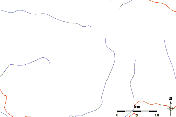
Surf breaks located close to Mulhacen Mountain peaks around Mulhacen Roads and rivers around Mulhacen

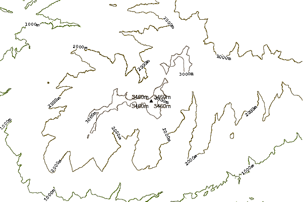
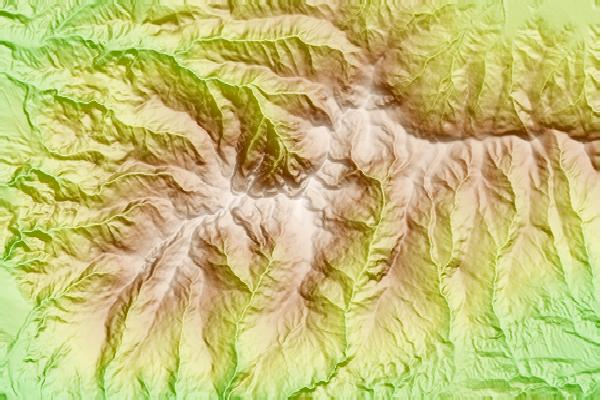
Use this relief map to navigate to mountain peaks in the area of Mulhacen.

10 other mountain peaks closest to Mulhacen:
1. Sierra Nevada (Spain) (3478 m) 1.1 km
2. Alcazaba (3364 m) 1.8 km
3. Puntal de Vacares (3143 m) 3.6 km
4. Cerro de los Machos (3327 m) 4.1 km
5. Pico Veleta (3398 m) 4.9 km
6. Picón de Jerez or Picón de Jeres (3088 m) 9.3 km
7. Caballo (3011 m) 12.3 km
8. Almirez (2518 m) 35.7 km
9. Calar de Santa Bárbar (2269 m) 55.4 km
10. La Maroma (2066 m) 67.3 km