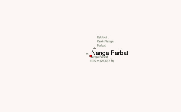
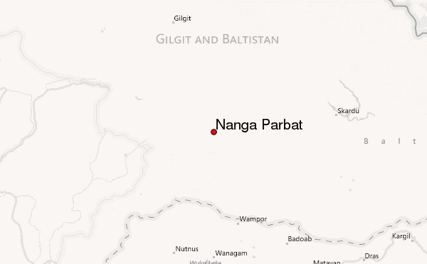
– Lat/Long: 35.23° N 74.60° E
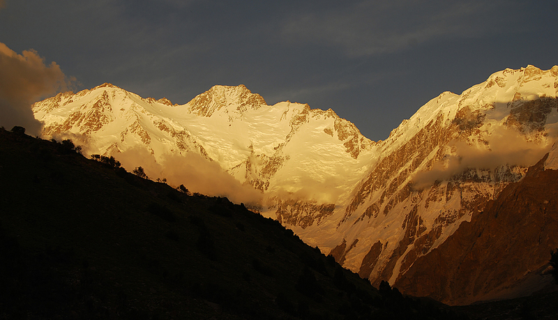
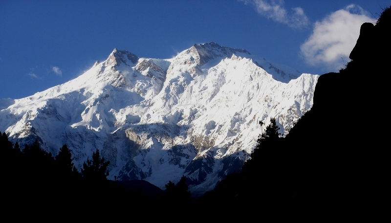
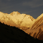
 Nanga Parbat – Climbing, Hiking & Mountaineering information

Nanga Parbat guide
- Elevation: 26658 ft
- Difficulty: Major Mountain Expedition
- Best months to climb: June, July, August, September
- Convenient center: Chilas, Pakistan
Nanga Parbat Climbing NotesBe the first to submit your climbing note! Please submit any useful information about climbing Nanga Parbat that may be useful to other climbers. Consider things such as access and accommodation at the base of Nanga Parbat, as well as the logistics of climbing to the summit. |
| Select a
mountain summit from the menu |
||
|
Select a Mountain Summit
|
||
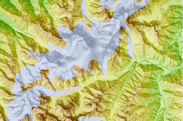
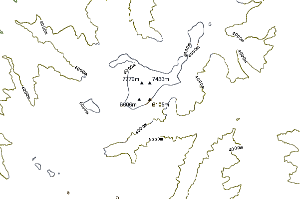
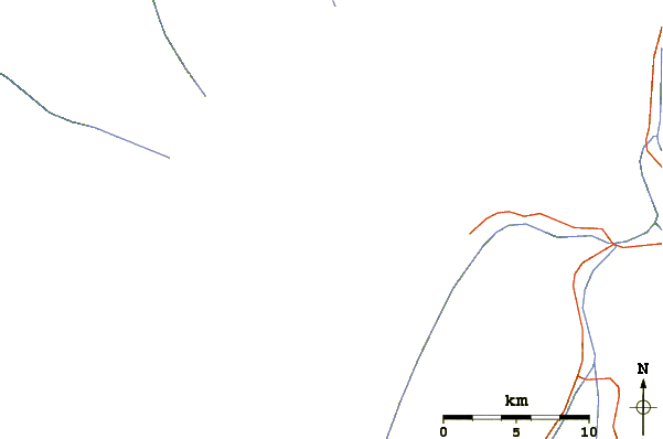
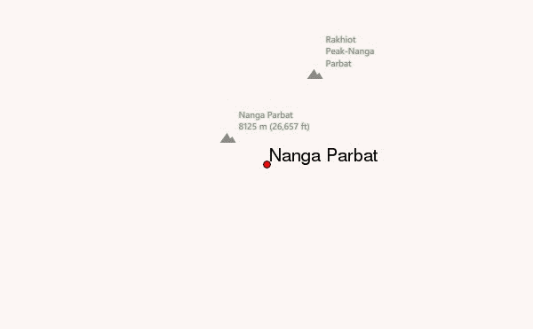
Use this relief map to navigate to mountain peaks in the area of Nanga Parbat.
10 other mountain peaks closest to Nanga Parbat:
| 1. | Rakhiot Peak (23197 ft) | 2.9 miles |
| 2. | Ganalo Peak (21681 ft) | 4.7 miles |
| 3. | Rupal Peak (18511 ft) | 5.9 miles |
| 4. | Chongra Peak (22409 ft) | 7.8 miles |
| 5. | Shaigiri (18321 ft) | 8.1 miles |
| 6. | Laila Peak (Rupal Valley) (19591 ft) | 11.7 miles |
| 7. | Astore Valley (26661 ft) | 31.8 miles |
| 8. | Haramosh Kutwal Galli or Laila Peak (15749 ft) | 41.4 miles |
| 9. | Haramosh Peak (24309 ft) | 44.8 miles |
| 10. | Laila Peak (Haramosh Valley) (22918 ft) | 53.6 miles |

