– Lat/Long: 38.84° N 105.04° W

UsPikes Peak – Climbing, Hiking & Mountaineering information

Placeholder

Pikes Peak mountain guide

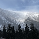
Pikes Peak photo

Pikes Peak

Photo credit:

Pikes Peak at 10am  photo

Pikes Peak

Photo credit: Laura Riehl

Pikes Peak Fall photo

Pikes Peak

Photo credit: Brad

June Sunrise, Pikes Peak photo

Pikes Peak

Photo credit: Brad

  • Elevation: 4300 m
  • Difficulty: Scramble
  • Best months to climb: June, July, August, September
  • Convenient center: Colorado Springs, Colorado

Pikes Peak Climbing Notes

T4TE from UNITED STATES writes:

Completed the summit hike up Barr trail on Thursday, August 26, 2021. Started at 7:45am, beautiful blue skies. Hit the base camp by late morning, just before 11am averaging about 22 min. per mile. The first 3 miles are challenging with the sun and the constant switch backs gaining 1600 feet in the first two miles. Miles 5 & 6 were a breeze with only about 300 feet of elevation gain, also my fastest time of the day (a 20.17 mile and a 19.39 mile). Stopped for lunch at Barr camp after ~6.5 miles at ~3600 feet elevation gain, and then the real challenge begins.

Mile times quickly ran up from to 27 min. up to 35-40 min. miles for the last two miles to the top. Started seeing clouds roll in around mile 9-10, I hit a small amount of snow/rain in the last 2-3 miles, which really slowed me down further. Winds picked up toward to the top with about 10-15mph gusts.

The last 2.5 miles are very hard when trying to knock out the entire trip in one sitting. Many steps are straight up, knee height, requiring more energy and self propulsion up the mountain. Arrived sub 7 hours, with an average pace of 29.46 miles per hour.

Welcomed the train ride down, $35, which you can pay for when you get down to the bottom, ~45 minute ride down.

Great views, great challenge, carried about 2 liters of water and a 0.5L of Gatorade. Bring salty food. Highly recommend starting as early as possible to avoid the afternoon rain that usually comes in. Mile markers are not to be fully trusted.
2021-08-30

Click here to read 5 more climbing notes for Pikes Peak or submit your own

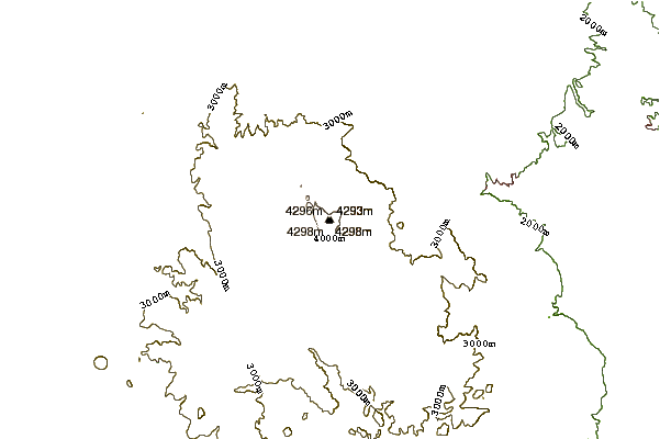
Pikes Peak Location Map

Select Pikes Peak Location Map Detail:


Latest Gallery Images for Pikes Peak

visit the
gallery
or click to view
Gods promise Made it 13 miles before they cut us off!!! Barr Trail 1 mile markerDown on the cog

Upload your photo of Pikes Peak

Select a mountain summit from the menu
Select a Mountain Summit
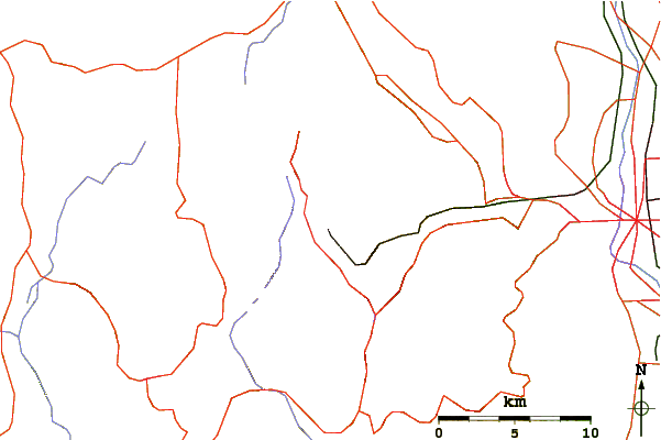
Surf breaks located close to Pikes Peak Mountain peaks around Pikes Peak Roads and rivers around Pikes Peak

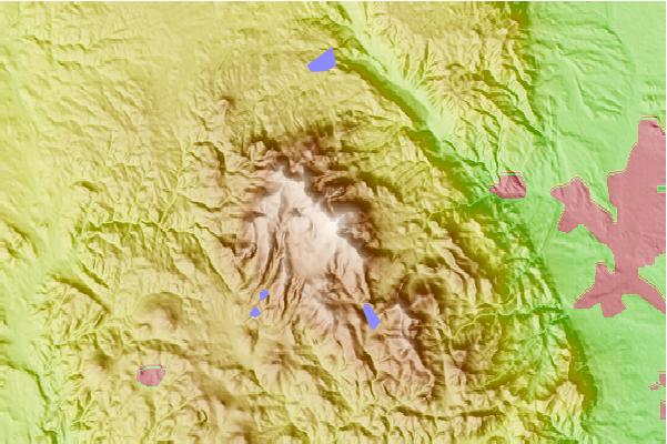
Use this relief map to navigate to mountain peaks in the area of Pikes Peak.

10 other mountain peaks closest to Pikes Peak:

1. Almagre Mountain (3770 m) 7.0 km
2. Cameron Cone (3263 m) 7.9 km
3. Mount Rosa (Colorado) (3505 m) 12.7 km
4. Ormes Peak (2965 m) 15.5 km
5. Petkash Peak (2731 m) 16.2 km
6. Blodgett Peak (2872 m) 18.8 km
7. Cheyenne Mountain (2915 m) 20.2 km
8. Badger Mountain (Colorado) (3442 m) 46.8 km
9. Monument Hill (2241 m) 52.5 km
10. Mount Bailey (Colorado) (2770 m) 73.3 km