– Lat/Long: 46.41° N 119.61° W
 Rattlesnake Mountain, Benton County, Washington – Climbing, Hiking & Mountaineering information
Rattlesnake Mountain, Benton County, Washington – Climbing, Hiking & Mountaineering information
Rattlesnake Mountain, Benton County, Washington guide
- Elevation: 1060 m
- Difficulty:
- Best months to climb:
- Convenient center:
Rattlesnake Mountain, Benton County, Washington Climbing NotesBe the first to submit your climbing note! Please submit any useful information about climbing Rattlesnake Mountain, Benton County, Washington that may be useful to other climbers. Consider things such as access and accommodation at the base of Rattlesnake Mountain, Benton County, Washington, as well as the logistics of climbing to the summit. |
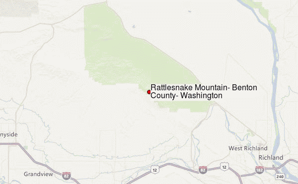
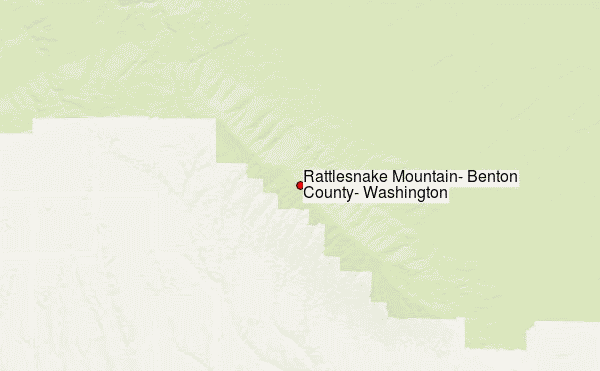
Select Rattlesnake Mountain, Benton County, Washington Location Map Detail:
| Select a
mountain summit from the menu |
||
|
Select a Mountain Summit
|
||
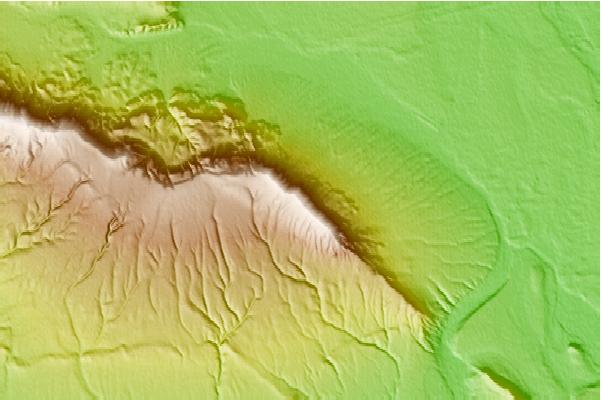
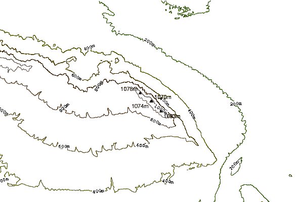
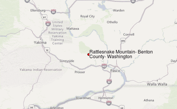
Use this relief map to navigate to mountain peaks in the area of Rattlesnake Mountain, Benton County, Washington.
10 other mountain peaks closest to Rattlesnake Mountain, Benton County, Washington:
| 1. | Red Mountain (Washington) (430 m) | 19.3 km |
| 2. | Yakima Ridge (1279 m) | 41.2 km |
| 3. | Whiskey Dick Mountain (1182 m) | 83.6 km |
| 4. | Indian Rock (1775 m) | 104.3 km |
| 5. | Columbia Heights (Oregon) (411 m) | 107.6 km |
| 6. | Wenatchee Mountain (2055 m) | 114.0 km |
| 7. | Nelson Butte (2182 m) | 130.3 km |
| 8. | Mount Aix (2367 m) | 133.0 km |
| 9. | Bismarck Peak (2312 m) | 133.4 km |
| 10. | Badger Mountain (1297 m) | 138.0 km |

