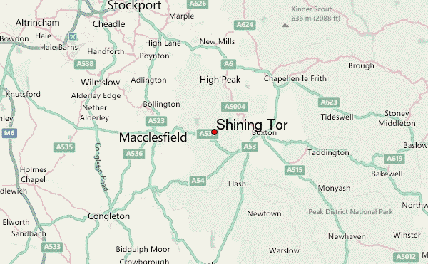
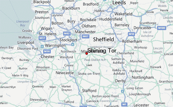
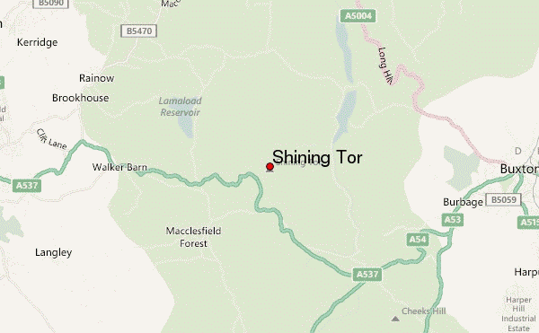
– Lat/Long: 53.26° N 2.01° W
 Shining Tor – Climbing, Hiking & Mountaineering information
Shining Tor – Climbing, Hiking & Mountaineering information
Shining Tor mountain guide
- Elevation: 559 m
- Difficulty:
- Best months to climb:
- Convenient center:
Shining Tor Climbing NotesBe the first to submit your climbing note! Please submit any useful information about climbing Shining Tor that may be useful to other climbers. Consider things such as access and accommodation at the base of Shining Tor, as well as the logistics of climbing to the summit. |
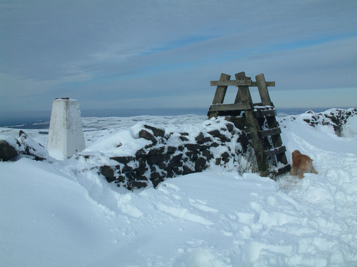
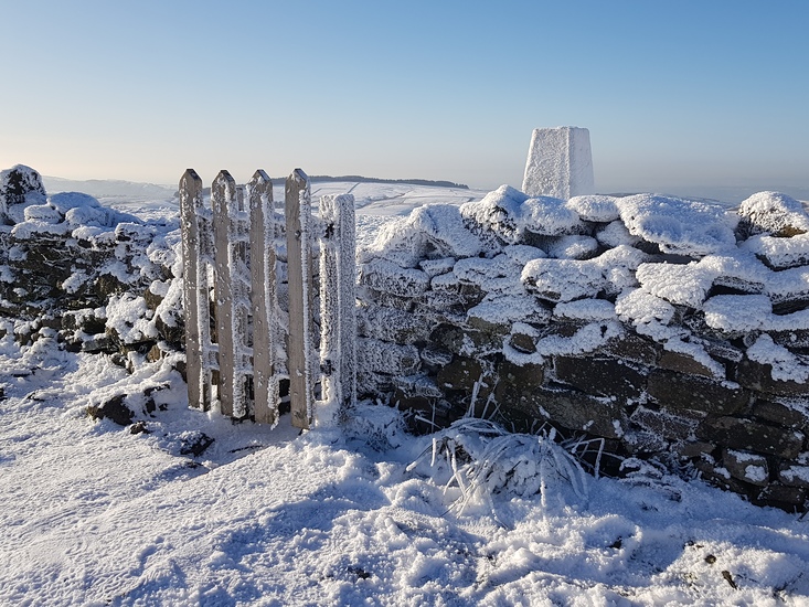
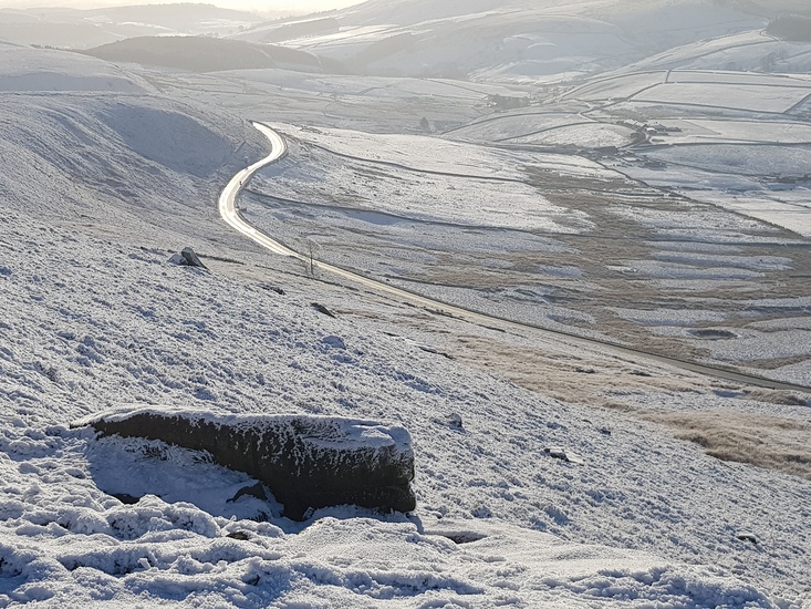
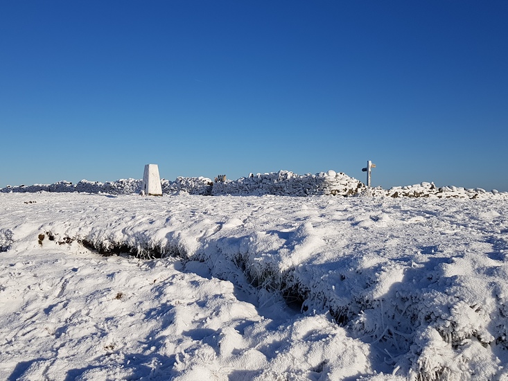
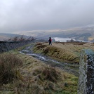
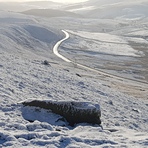
Latest Gallery Images for Shining Tor
| Select a
mountain summit from the menu |
||
|
Select a Mountain Summit
|
||
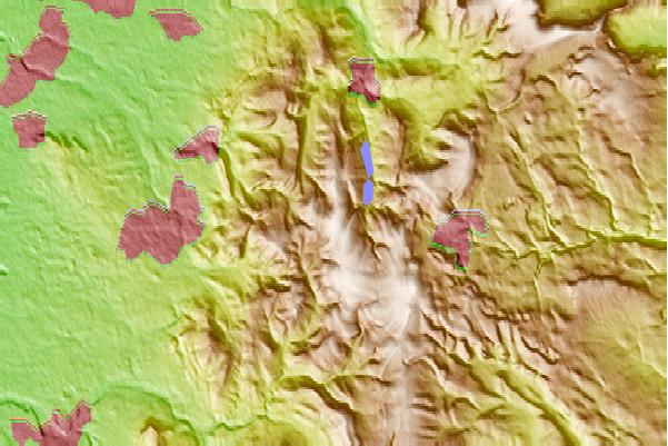
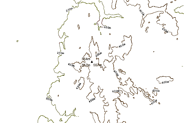
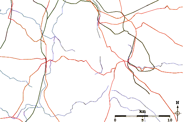
Use this relief map to navigate to mountain peaks in the area of Shining Tor.
10 other mountain peaks closest to Shining Tor:
| 1. | Shutlingsloe (506 m) | 4.6 km |
| 2. | Tegg's Nose (380 m) | 5.0 km |
| 3. | Cheeks Hill (520 m) | 5.1 km |
| 4. | Axe Edge (551 m) | 6.3 km |
| 5. | Chrome Hill (425 m) | 9.9 km |
| 6. | The Roaches (505 m) | 10.0 km |
| 7. | Parkhouse Hill (360 m) | 10.9 km |
| 8. | Gun Hill (373 m) | 12.5 km |
| 9. | Gun (Staffordshire) (373 m) | 12.5 km |
| 10. | Geology of Alderley Edge (183 m) | 12.6 km |
 Like us
 Follow us
