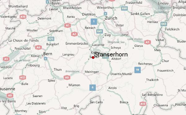
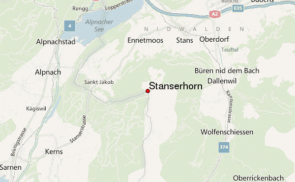
– Lat/Long: 46.93° N 8.34° E
 Stanserhorn – Climbing, Hiking & Mountaineering information

Stanserhorn guide
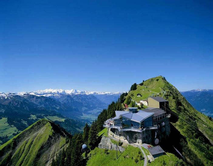
- Elevation: 6227 ft
- Difficulty:
- Best months to climb:
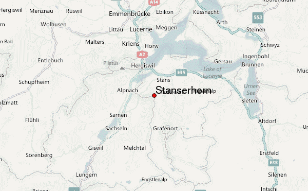
- Convenient center:
Stanserhorn Climbing NotesBe the first to submit your climbing note! Please submit any useful information about climbing Stanserhorn that may be useful to other climbers. Consider things such as access and accommodation at the base of Stanserhorn, as well as the logistics of climbing to the summit. |
| Select a
mountain summit from the menu |
||
|
Select a Mountain Summit
|
||
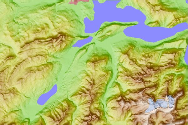
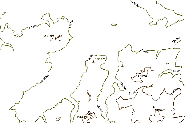
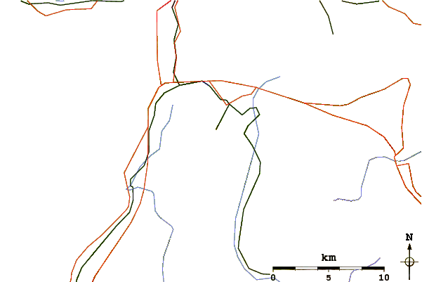
Use this relief map to navigate to mountain peaks in the area of Stanserhorn.
10 other mountain peaks closest to Stanserhorn:
| 1. | Grosser Diamantstock (10375 ft) | 5.3 miles |
| 2. | Pilatus (mountain) (6982 ft) | 5.6 miles |
| 3. | Bürgenstock (3701 ft) | 5.6 miles |
| 4. | Mount Pilatus (6995 ft) | 5.7 miles |
| 5. | Widderfeld (6811 ft) | 5.9 miles |
| 6. | Gross Walenstock (8439 ft) | 6.3 miles |
| 7. | Rigidalstock (8508 ft) | 6.6 miles |
| 8. | Ruchstock (9233 ft) | 8.0 miles |
| 9. | Huetstock (8780 ft) | 8.0 miles |
| 10. | Engelberger Rotstock (9246 ft) | 9.1 miles |

