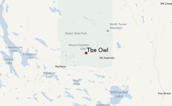
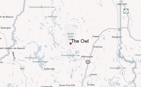
– Lat/Long: 45.90° N 68.95° W
 The Owl – Climbing, Hiking & Mountaineering information
The Owl – Climbing, Hiking & Mountaineering information
The Owl guide
- Elevation: 1139 m
- Difficulty: Walk up
- Best months to climb: June, July, August, September
- Convenient center:
The Owl Climbing NotesBe the first to submit your climbing note! Please submit any useful information about climbing The Owl that may be useful to other climbers. Consider things such as access and accommodation at the base of The Owl, as well as the logistics of climbing to the summit. |
| Select a
mountain summit from the menu |
||
|
Select a Mountain Summit
|
||
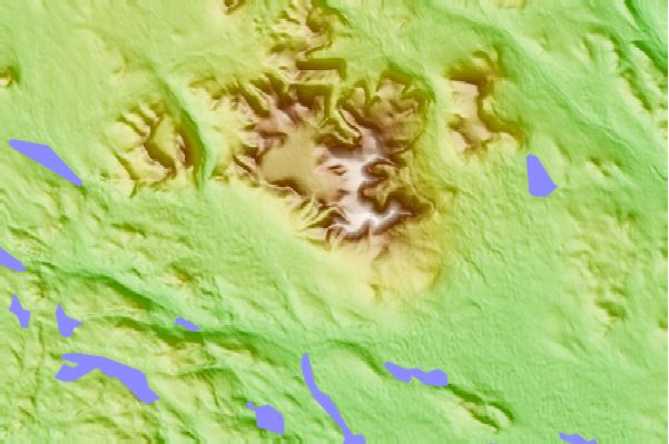
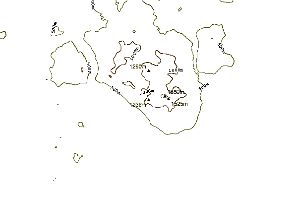
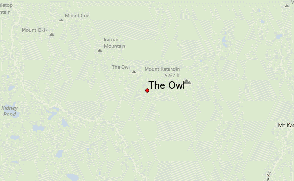
Use this relief map to navigate to mountain peaks in the area of The Owl.
10 other mountain peaks closest to The Owl:
| 1. | Mount Katahdin (1606 m) | 2.6 km |
| 2. | Hamlin Peak (1450 m) | 3.1 km |
| 3. | Mount Coe (1157 m) | 5.9 km |
| 4. | South Brother (1210 m) | 6.3 km |
| 5. | North Brother (1265 m) | 6.9 km |
| 6. | Fort Mountain (Maine) (1179 m) | 7.2 km |
| 7. | Doubletop Mountain (Maine) (1063 m) | 9.5 km |
| 8. | Traveler Mountain (1079 m) | 20.9 km |
| 9. | Big Spencer Mountain (977 m) | 41.0 km |
| 10. | White Cap Mountain (Piscataquis County, Maine) (1114 m) | 44.8 km |

