– Lat/Long: 57.23° N 5.16° W
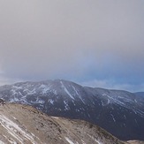
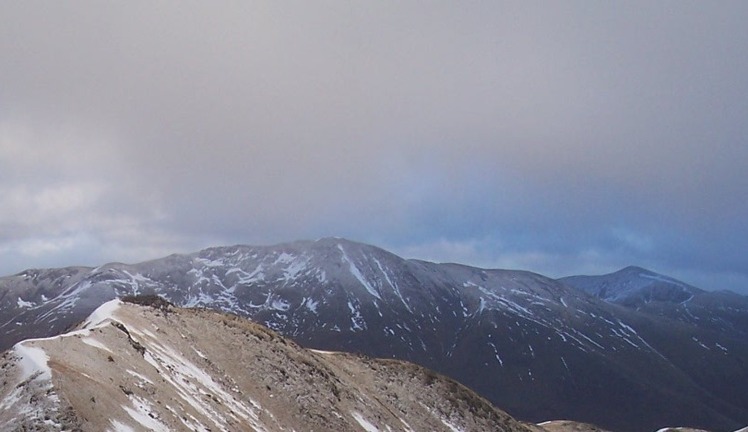
 A' Chràlaig
Weather Forecast, United KingdomIssued: 12 am Sat 19 Apr Local TimeUpdates in: hr min sUpdate imminent
A' Chràlaig Weather Forecast, United Kingdom
Issued: 12 am Sat 19 Apr Local Time
Updates in:
Update imminent hr min s

Issued: 12 am Sat 19 Apr Local Time
Updates in:
Update imminent hr min s
Days 1–4 Weather SummaryModerate rain (total 16mm), heaviest on Fri night. Very mild (max 10°C on Mon morning, min 3°C on Fri night). Wind will be generally light. | Days 5–7 Weather SummaryModerate rain (total 13mm), heaviest on Mon night. Mild temperatures (max 8°C on Tue afternoon, min 3°C on Wed night). Wind will be generally light. | ||||||||||||||||||
Saturday 19 | Sunday 20 | Monday 21 | Tuesday 22 | Wednesday 23 | Thursday 24 | ||||||||||||||
night | AM | PM | night | AM | PM | night | AM | PM | night | AM | PM | night | AM | PM | night | AM | PM | night | |
mod. rain | light rain | light rain | light rain | some clouds | some clouds | some clouds | some clouds | light rain | heavy rain | light rain | rain shwrs | some clouds | some clouds | rain shwrs | light rain | cloudy | some clouds | some clouds | |
km/h | |||||||||||||||||||
 |  |  |  |  |  |  | |||||||||||||
— | — | — | — | — | — | — | — | — | — | — | — | — | — | — | — | — | — | — | |
9 | 4 | 0.7 | 0.1 | — | — | — | — | 1.9 | 12 | 0.1 | 0.2 | — | — | 0.1 | 0.2 | — | — | — | |
max°C | 4 | 4 | 5 | 4 | 8 | 9 | 7 | 10 | 9 | 6 | 7 | 8 | 7 | 8 | 8 | 6 | 4 | 5 | 3 |
min°C | 3 | 3 | 5 | 3 | 5 | 9 | 6 | 8 | 6 | 4 | 5 | 8 | 4 | 7 | 8 | 3 | 4 | 5 | 1 |
-2 | -1 | 2 | 0 | 3 | 8 | 4 | 7 | 5 | 1 | 3 | 7 | 3 | 5 | 6 | 1 | 2 | 4 | 1 | |
1050 | 950 | 1200 | 1150 | 1500 | 1700 | 1750 | 1750 | 1650 | 1200 | 1150 | 1400 | 1400 | 1500 | 1500 | 1250 | 1000 | 1050 | 850 | |
Cloud base (m) | 350 | 350 | 350 | 750 | 750 | 1450 | 1500 | 2100 | 700 | 350 | 750 | 900 | 900 | 500 | 800 | 650 | 500 | 700 | 750 |
— | 6:03 | — | — | 6:00 | — | — | 5:56 | — | — | 5:54 | — | — | 5:52 | — | — | 5:50 | — | — | |
— | — | 8:37 | — | — | 8:39 | — | — | 8:42 | — | — | 8:44 | — | — | 8:45 | — | — | 8:47 | — | |
Loading...
A' Chràlaig Weather (Days 0-3):
The weather forecast for A' Chràlaig is: Moderate rain (total 16mm), heaviest on Fri night. Very mild (max 10°C on Mon morning, min 3°C on Fri night). Wind will be generally light.
A' Chràlaig Weather (Days 3-6):
Moderate rain (total 13mm), heaviest on Mon night. Mild temperatures (max 8°C on Tue afternoon, min 3°C on Wed night). Wind will be generally light.
This table gives the weather forecast for A' Chràlaig at the specific elevation of 500 m. Our advanced weather models allow us to provide distinct weather forecasts for several elevations of A' Chràlaig. To see the weather forecasts for the other elevations, use the tab navigation above the table. For a wider overview of the weather, consult the Weather Map of United Kingdom.
| Weather Station | Temp. | Weather | Wind | Gusts | Cloud / Visibility |
|---|---|---|---|---|---|
BealachNABA NO 2 | |||||
T17- Nevis Range | |||||
657 | |||||
SAIS Aonach Mor | |||||
CIC Hut Ben Nevis | |||||
SAIS C Meagaidh area | |||||
TullochBridge | |||||
SAIS Drumochter |
* NOTE: not all weather observatories update at the same frequency which is the reason why some locations may show data from stations that are further away than known closer ones.