– Lat/Long: 45.55° N 6.85° E
 Aiguille Rouge
Weather Forecast, FranceIssued: 7 am Tue 01 Apr Local TimeUpdates in: hr min sUpdate imminent
Aiguille Rouge Weather Forecast, France
Issued: 7 am Tue 01 Apr Local Time
Updates in:
Update imminent hr min s

Issued: 7 am Tue 01 Apr Local Time
Updates in:
Update imminent hr min s
Days 1–3 Weather SummaryA dusting of snow turning to light rain (total 3mm) on Wed morning. Freeze-thaw conditions (max 11°C on Thu afternoon, min -2°C on Tue night). Wind will be generally light. | Days 4–6 Weather SummaryMostly dry. Very mild (max 13°C on Fri afternoon, min 6°C on Sat night). Wind will be generally light. | |||||||||||||||||
Tuesday 1 | Wednesday 2 | Thursday 3 | Friday 4 | Saturday 5 | Sunday 6 | |||||||||||||
AM | PM | night | AM | PM | night | AM | PM | night | AM | PM | night | AM | PM | night | AM | PM | night | |
clear | light snow | snow shwrs | snow shwrs | rain shwrs | rain shwrs | clear | clear | clear | clear | clear | clear | clear | clear | rain shwrs | clear | clear | rain shwrs | |
km/h | ||||||||||||||||||
 |  |  |  |  |  | |||||||||||||
— | 1.0 | 2.0 | 1.0 | — | — | — | — | — | — | — | — | — | — | — | — | — | — | |
— | 0.2 | — | 1.0 | 1.3 | 0.1 | — | — | — | — | — | — | — | — | 0.2 | — | — | 0.2 | |
max°C | 3 | 4 | -1 | 4 | 5 | 2 | 8 | 11 | 7 | 11 | 13 | 10 | 10 | 12 | 10 | 10 | 12 | 9 |
min°C | -1 | 0 | -2 | 0 | 5 | 2 | 2 | 10 | 6 | 7 | 12 | 7 | 7 | 12 | 6 | 7 | 12 | 6 |
-3 | -4 | -5 | -3 | 3 | -1 | 0 | 10 | 5 | 6 | 12 | 7 | 7 | 12 | 6 | 7 | 12 | 6 | |
2000 | 1550 | 1350 | 2000 | 2200 | 2000 | 2850 | 2850 | 3150 | 3150 | 3050 | 3150 | 3000 | 3000 | 2750 | 3050 | 3000 | 2700 | |
Cloud base (m) | 2200 | 2100 | 2350 | 2700 | 2000 | 8700 | 3150 | 8600 | 3100 | 3150 | 2650 | 3050 | 2400 | |||||
7:13 | — | — | 7:11 | — | — | 7:09 | — | — | 7:07 | — | — | 7:05 | — | — | 7:03 | — | — | |
— | 7:59 | — | — | — | 8:00 | — | — | 8:01 | — | — | 8:02 | — | — | 8:05 | — | — | 8:06 | |
Aiguille Rouge Weather (Days 0-3):
The weather forecast for Aiguille Rouge is: A dusting of snow turning to light rain (total 3mm) on Wed morning. Freeze-thaw conditions (max 11°C on Thu afternoon, min -2°C on Tue night). Wind will be generally light.
Aiguille Rouge Weather (Days 3-6):
Mostly dry. Very mild (max 13°C on Fri afternoon, min 6°C on Sat night). Wind will be generally light.
This table gives the weather forecast for Aiguille Rouge at the specific elevation of 1500 m. Our advanced weather models allow us to provide distinct weather forecasts for several elevations of Aiguille Rouge. To see the weather forecasts for the other elevations, use the tab navigation above the table. For a wider overview of the weather, consult the Weather Map of France.
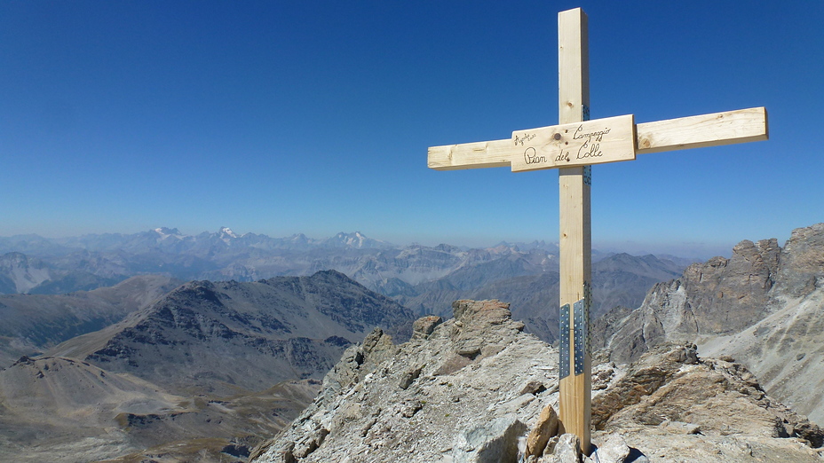
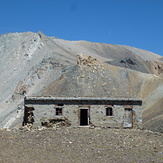
Aiguille Rouge Photos
View all
Graian Alps photos (53) |
Alps photos (1455) |
photos from mountains in France (280) |
all photos
 Upload new photo
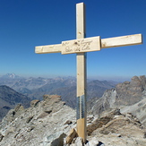
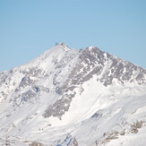
Punta Sommeiller
Punta Sommeiller
Aiguille Rouge

