– Lat/Long: 56.56° N 4.22° W
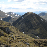
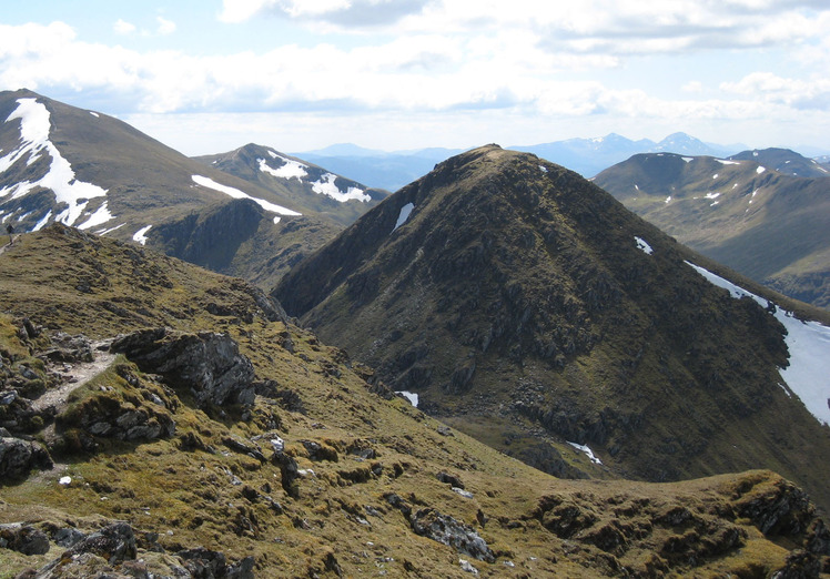
 An Stuc
Weather Forecast, United KingdomIssued: 12 pm Sat 19 Apr Local TimeUpdates in: hr min sUpdate imminent
An Stuc Weather Forecast, United Kingdom
Issued: 12 pm Sat 19 Apr Local Time
Updates in:
Update imminent hr min s

Issued: 12 pm Sat 19 Apr Local Time
Updates in:
Update imminent hr min s
Days 1–3 Weather SummaryA dusting of new snow. Freeze-thaw conditions (max 3°C on Sun afternoon, min 0°C on Sat morning). Winds decreasing (fresh winds from the ESE on Sat morning, light winds from the SSE by Mon afternoon). | Days 4–6 Weather SummaryA moderate fall of snow, heaviest on Tue night. Temperatures will be slightly above freezing (max 4°C on Thu afternoon, min 1°C on Tue morning). Winds decreasing (strong winds from the ESE on Wed afternoon, light winds from the S by Thu night). | |||||||||||||||||
Saturday 19 | Sunday 20 | Monday 21 | Tuesday 22 | Wednesday 23 | Thursday 24 | |||||||||||||
AM | PM | night | AM | PM | night | AM | PM | night | AM | PM | night | AM | PM | night | AM | PM | night | |
cloudy | cloudy | some clouds | clear | clear | some clouds | cloudy | light snow | some clouds | some clouds | light snow | mod. snow | light snow | light snow | rain shwrs | clear | clear | clear | |
km/h | ||||||||||||||||||
 |  |  |  |  |  | |||||||||||||
— | — | — | — | — | — | — | 3 | — | — | 3 | 9 | 4 | 1.0 | — | — | — | — | |
— | — | — | — | — | — | — | — | — | — | — | — | — | 0.6 | 0.2 | — | — | — | |
max°C | 0 | 1 | 1 | 2 | 3 | 2 | 2 | 2 | 1 | 2 | 1 | 1 | 1 | 2 | 2 | 3 | 4 | 2 |
min°C | 0 | 1 | 1 | 2 | 3 | 2 | 2 | 1 | 0 | 1 | 1 | 1 | 1 | 2 | 2 | 3 | 3 | 1 |
-7 | -4 | -4 | -2 | 0 | -3 | -3 | -3 | -5 | -4 | -5 | -4 | -4 | -5 | -4 | -1 | 0 | -3 | |
1050 | 1250 | 1400 | 1450 | 1600 | 1600 | 1550 | 1400 | 1150 | 1200 | 1300 | 1350 | 1250 | 1350 | 1500 | 1550 | 1600 | 1450 | |
Cloud base (m) | 550 | 1450 | 2450 | 1750 | 2000 | 1650 | 1900 | 400 | 450 | 1900 | 600 | 350 | 350 | 400 | 650 | 900 | 550 | |
6:01 | — | — | 5:58 | — | — | 5:56 | — | — | 5:52 | — | — | 5:50 | — | — | 5:48 | — | — | |
— | 8:31 | — | — | 8:34 | — | — | 8:36 | — | — | 8:37 | — | — | 8:39 | — | — | 8:42 | — | |
Loading...
An Stuc Weather (Days 0-3):
The weather forecast for An Stuc is: A dusting of new snow. Freeze-thaw conditions (max 3°C on Sun afternoon, min 0°C on Sat morning). Winds decreasing (fresh winds from the ESE on Sat morning, light winds from the SSE by Mon afternoon).
An Stuc Weather (Days 3-6):
A moderate fall of snow, heaviest on Tue night. Temperatures will be slightly above freezing (max 4°C on Thu afternoon, min 1°C on Tue morning). Winds decreasing (strong winds from the ESE on Wed afternoon, light winds from the S by Thu night).
This table gives the weather forecast for An Stuc at the specific elevation of 1118 m. Our advanced weather models allow us to provide distinct weather forecasts for several elevations of An Stuc. To see the weather forecasts for the other elevations, use the tab navigation above the table. For a wider overview of the weather, consult the Weather Map of United Kingdom.