Ben Lomond (Otago) guide
- Elevation: 1748 m
- Difficulty:
- Best months to climb:
- Convenient center: Queenstown
Ben Lomond (Otago) Climbing Notes
Click here to read 1 more climbing note for Ben Lomond (Otago) or submit your own |
| Select a
mountain summit from the menu |
||
|
Select a Mountain Summit
|
||


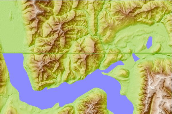
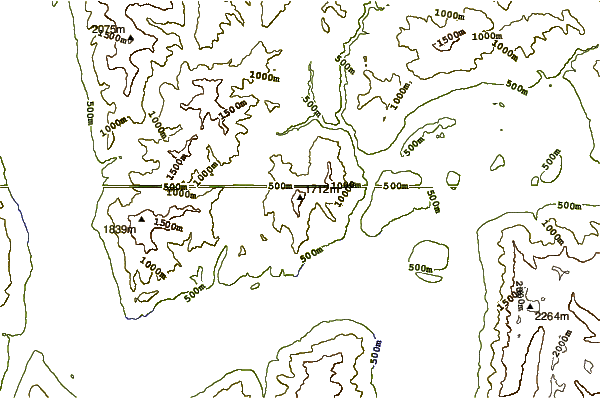
Use this relief map to navigate to mountain peaks in the area of Ben Lomond (Otago).
10 other mountain peaks closest to Ben Lomond (Otago):
| 1. | Ben Lomond Trails (843 m) | 3.3 km |
| 2. | Cecil Peak (1978 m) | 11.4 km |
| 3. | Coronet Peak Ski & Mountain Bike Park (1630 m) | 13.6 km |
| 4. | Cardrona Bike Park NZ (1881 m) | 30.5 km |
| 5. | Earnslaw (2830 m) | 47.5 km |
| 6. | Roys Peak (1578 m) | 49.4 km |
| 7. | Mount Barff (2252 m) | 65.7 km |
| 8. | Mount Tutoko (Darran Mountains) (2723 m) | 66.0 km |
| 9. | Mitre Peak (2000 m) | 66.9 km |
| 10. | Mount Aspiring (3027 m) | 70.0 km |


 Like us
 Follow us
 Follow us