– Lat/Long: 57.03° N 4.88° W
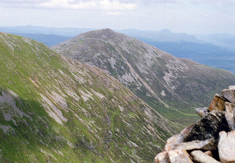
 Ben Tee
Weather Forecast, United KingdomIssued: 6 pm Sun 20 Apr Local TimeUpdates in: hr min sUpdate imminent
Ben Tee Weather Forecast, United Kingdom
Issued: 6 pm Sun 20 Apr Local Time
Updates in:
Update imminent hr min s

Issued: 6 pm Sun 20 Apr Local Time
Updates in:
Update imminent hr min s
Days 1–4 Weather SummaryLight rain (total 2mm), mostly falling on Mon afternoon. Mild temperatures (max 7°C on Wed morning, min 1°C on Mon night). Wind will be generally light. | Days 5–7 Weather SummaryLight rain (total 3mm), mostly falling on Fri afternoon. Mild temperatures (max 7°C on Wed afternoon, min 3°C on Thu night). Winds increasing (calm on Wed night, fresh winds from the S by Fri afternoon). | ||||||||||||||||
Sun 20 | Monday 21 | Tuesday 22 | Wednesday 23 | Thursday 24 | Friday 25 | ||||||||||||
PM | night | AM | PM | night | AM | PM | night | AM | PM | night | AM | PM | night | AM | PM | night | |
some clouds | some clouds | some clouds | light rain | rain shwrs | some clouds | light rain | rain shwrs | rain shwrs | rain shwrs | rain shwrs | clear | rain shwrs | some clouds | cloudy | light rain | light rain | |
km/h | |||||||||||||||||
 |  |  |  |  |  | ||||||||||||
— | — | — | — | — | — | — | — | — | — | — | — | — | — | — | — | — | |
— | — | — | 1.1 | 0.6 | — | 0.2 | 0.1 | 0.1 | 0.6 | 0.2 | — | 0.1 | — | — | 1.0 | 0.3 | |
max°C | 6 | 4 | 5 | 4 | 3 | 4 | 5 | 4 | 7 | 7 | 4 | 5 | 7 | 4 | 6 | 5 | 5 |
min°C | 6 | 3 | 4 | 3 | 1 | 3 | 5 | 3 | 5 | 6 | 4 | 4 | 6 | 3 | 5 | 5 | 5 |
5 | -1 | 0 | 0 | -3 | -1 | 3 | 1 | 3 | 5 | 3 | 3 | 5 | 0 | 1 | 0 | 1 | |
1650 | 1600 | 1500 | 1450 | 1300 | 1200 | 1450 | 1450 | 1500 | 1750 | 1600 | 1700 | 1800 | 1850 | 1800 | 1750 | 1800 | |
Cloud base (m) | 1450 | 850 | 1500 | 500 | 400 | 700 | 850 | 1500 | 1750 | 750 | 400 | 700 | 800 | 1650 | 650 | 300 | |
— | — | 5:56 | — | — | 5:54 | — | — | 5:52 | — | — | 5:48 | — | — | 5:47 | — | — | |
8:37 | — | — | 8:39 | — | — | 8:42 | — | — | 8:45 | — | — | 8:46 | — | — | 8:49 | — | |
Loading...
Ben Tee Weather (Days 0-3):
The weather forecast for Ben Tee is: Light rain (total 2mm), mostly falling on Mon afternoon. Mild temperatures (max 7°C on Wed morning, min 1°C on Mon night). Wind will be generally light.
Ben Tee Weather (Days 3-6):
Light rain (total 3mm), mostly falling on Fri afternoon. Mild temperatures (max 7°C on Wed afternoon, min 3°C on Thu night). Winds increasing (calm on Wed night, fresh winds from the S by Fri afternoon).
This table gives the weather forecast for Ben Tee at the specific elevation of 901 m. Our advanced weather models allow us to provide distinct weather forecasts for several elevations of Ben Tee. To see the weather forecasts for the other elevations, use the tab navigation above the table. For a wider overview of the weather, consult the Weather Map of United Kingdom.