– Lat/Long: 46.58° N 8.28° E
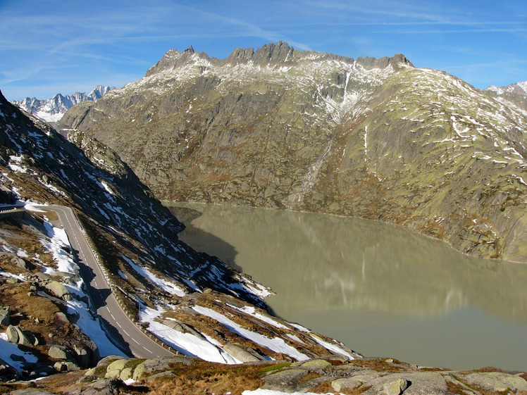
 Brünberg
Weather Forecast, SwitzerlandIssued: 1 am Fri 25 Apr Local TimeUpdates in: 4hr 19min 04sUpdate imminent
Issued: 1 am Fri 25 Apr Local Time
Updates in:
Update imminent 4hr 19min 04s

Issued: 1 am Fri 25 Apr Local Time
Updates in:
Update imminent 4hr 19min 04s
Days 1–3 Weather SummaryA dusting of new snow. Temperatures will be below freezing (max -2°C on Fri night, min -7°C on Fri morning). Wind will be generally light. | Days 4–6 Weather SummaryA light covering of new snow on Tue afternoon turning to drizzle on Wed afternoon. Freeze-thaw conditions (max 3°C on Wed afternoon, min -2°C on Mon morning). Wind will be generally light. | |||||||||||||||||
Friday 25 | Saturday 26 | Sunday 27 | Monday 28 | Tuesday 29 | Wednesday 30 | |||||||||||||
AM | PM | night | AM | PM | night | AM | PM | night | AM | PM | night | AM | PM | night | AM | PM | night | |
some clouds | snow shwrs | clear | clear | some clouds | some clouds | some clouds | cloudy | some clouds | clear | some clouds | snow shwrs | clear | snow shwrs | snow shwrs | clear | rain shwrs | snow shwrs | |
mph | ||||||||||||||||||
 |  |  |  |  |  | |||||||||||||
— | 1 | — | — | — | — | — | — | — | — | — | 0.4 | — | 1 | 1 | — | — | 0.4 | |
— | — | — | — | — | — | — | — | — | — | — | — | — | — | — | — | 0.04 | — | |
max°F | 21 | 21 | 28 | 28 | 28 | 28 | 28 | 28 | 28 | 30 | 34 | 32 | 32 | 34 | 34 | 34 | 37 | 36 |
min°F | 19 | 21 | 23 | 28 | 27 | 27 | 27 | 28 | 28 | 28 | 32 | 32 | 32 | 34 | 32 | 34 | 37 | 36 |
9 | 12 | 14 | 28 | 21 | 19 | 19 | 23 | 23 | 25 | 28 | 32 | 28 | 34 | 28 | 34 | 37 | 36 | |
6600 | 6900 | 5900 | 8700 | 8900 | 8000 | 8500 | 8900 | 8500 | 9400 | 10000 | 9800 | 9800 | 10200 | 10200 | 10300 | 11000 | 10700 | |
Cloud base (ft) | 7900 | 7900 | — | — | 9500 | 8000 | 8000 | 8900 | 8500 | — | 11300 | 8900 | — | 11200 | 13600 | — | — | 10800 |
6:22 | — | — | 6:20 | — | — | 6:18 | — | — | 6:18 | — | — | 6:16 | — | — | 6:15 | — | — | |
— | — | 8:27 | — | — | 8:28 | — | — | 8:30 | — | — | 8:30 | — | — | 8:31 | — | — | 8:34 | |
Days 7-12 Weather Summary
Interested in the 12-day Forecast? Unlock the full forecast and many more features by becoming a Pro member.
 MountainPro
Your membership benefits:
- Expert mountain forecasts
- 12 day forecast
- Hourly forecast detail
- Offline mapping (app only)
- Unlock our mobile app
- Remove ads
Brünberg Weather (Days 0-3):
The weather forecast for Brünberg is: A dusting of new snow. Temperatures will be below freezing (max -2°C on Fri night, min -7°C on Fri morning). Wind will be generally light.
Brünberg Weather (Days 3-6):
A light covering of new snow on Tue afternoon turning to drizzle on Wed afternoon. Freeze-thaw conditions (max 3°C on Wed afternoon, min -2°C on Mon morning). Wind will be generally light.
This table gives the weather forecast for Brünberg at the specific elevation of 2982 m. Our advanced weather models allow us to provide distinct weather forecasts for several elevations of Brünberg. To see the weather forecasts for the other elevations, use the tab navigation above the table. For a wider overview of the weather, consult the Weather Map of Switzerland.
Brünberg Photos
View all
Bernese Alps photos (163) |
Alps photos (1456) |
photos from mountains in Switzerland (643) |
all photos
 Upload new photo
Brünberg

