– Lat/Long: 58.14° N 4.88° W
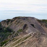
 Conival
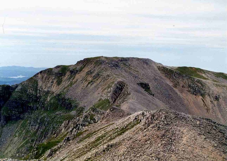
Weather Forecast, United KingdomIssued: 12 am Sun 05 Apr Local TimeUpdates in: hr min sUpdate imminent
Issued: 12 am Sun 05 Apr Local Time
Updates in:
Update imminent hr min s

Issued: 12 am Sun 05 Apr Local Time
Updates in:
Update imminent hr min s
Days 1–4 Weather SummaryA heavy fall of snow, heaviest during Sat night. Freeze-thaw conditions (max 11°C on Tue afternoon, min -5°C on Sat night). Winds decreasing (gales from the NE on Sat night, light winds from the SW by Mon morning). | Days 5–7 Weather SummaryA dusting of new snow. Freeze-thaw conditions (max 10°C on Wed morning, min -3°C on Fri afternoon). Winds increasing (fresh winds from the SSW on Wed morning, gales from the WSW by Thu morning). | ||||||||||||||||||
Sunday 5 | Monday 6 | Tuesday 7 | Wednesday 8 | Thursday 9 | Friday 10 | ||||||||||||||
night | AM | PM | night | AM | PM | night | AM | PM | night | AM | PM | night | AM | PM | night | AM | PM | night | |
snow shwrs | light snow | snow shwrs | snow shwrs | cloudy | cloudy | clear | some clouds | cloudy | cloudy | rain shwrs | light rain | snow shwrs | some clouds | cloudy | cloudy | some clouds | some clouds | snow shwrs | |
km/h | |||||||||||||||||||
 |  |  |  |  |  |  | |||||||||||||
23 | 2 | 2 | 1 | — | — | — | — | — | — | — | — | 1 | — | — | — | — | — | 2 | |
— | — | — | — | — | — | — | — | — | — | 0.2 | 0.2 | 0.5 | — | — | — | — | — | — | |
max °C | -4 | -4 | -4 | -3 | 0 | 3 | 5 | 10 | 11 | 7 | 10 | 9 | 7 | 0 | 0 | 0 | 2 | -2 | -3 |
min °C | -5 | -4 | -4 | -5 | -2 | 1 | 2 | 7 | 8 | 7 | 8 | 7 | 0 | 0 | -1 | 0 | -1 | -3 | -4 |
-16 | -13 | -14 | -12 | -8 | -4 | -3 | 3 | 4 | 2 | 4 | 2 | -8 | -9 | -10 | -7 | -10 | -13 | -14 | |
250 | 450 | 500 | 550 | 700 | 1150 | 2350 | 2600 | 2750 | 2600 | 2600 | 2500 | 1700 | 1000 | 1000 | 1000 | 1250 | 700 | 600 | |
Cloud base (m) | 100 | 1400 | 500 | 850 | 850 | 850 | 3000 | 900 | 700 | 800 | 350 | 700 | 2000 | 550 | 150 | 200 | 450 | ||
— | 6:37 | — | — | 6:35 | — | — | 6:31 | — | — | 6:28 | — | — | 6:26 | — | — | 6:22 | — | — | |
— | — | 8:07 | — | — | 8:09 | — | — | 8:12 | — | — | 8:15 | — | — | 8:16 | — | — | 8:19 | — | |
Loading...
Conival Weather (Days 0-3):
The weather forecast for Conival is: A heavy fall of snow, heaviest during Sat night. Freeze-thaw conditions (max 11°C on Tue afternoon, min -5°C on Sat night). Winds decreasing (gales from the NE on Sat night, light winds from the SW by Mon morning).
Conival Weather (Days 3-6):
A dusting of new snow. Freeze-thaw conditions (max 10°C on Wed morning, min -3°C on Fri afternoon). Winds increasing (fresh winds from the SSW on Wed morning, gales from the WSW by Thu morning).
This table gives the weather forecast for Conival at the specific elevation of 987 m. Our advanced weather models allow us to provide distinct weather forecasts for several elevations of Conival. To see the weather forecasts for the other elevations, use the tab navigation above the table. For a wider overview of the weather, consult the Weather Map of United Kingdom.
| Weather Station | Temp. | Weather | Wind | Gusts | Cloud / Visibility |
|---|---|---|---|---|---|
Altnaharra NO 2 | |||||
SHIP2368 | |||||
SHIP7162 | |||||
SHIP2069 | |||||
SHIP1726 |
* NOTE: not all weather observatories update at the same frequency which is the reason why some locations may show data from stations that are further away than known closer ones.