– Lat/Long: 46.02° N 110.28° W
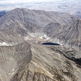
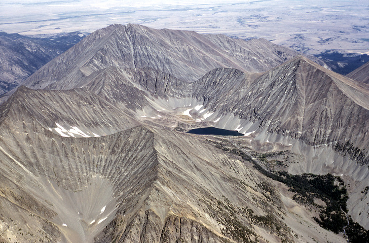
 Crazy Peak
Weather Forecast, United StatesIssued: 11 pm Sun 27 Apr Local TimeUpdates in: hr min sUpdate imminent
Crazy Peak Weather Forecast, United States
Issued: 11 pm Sun 27 Apr Local Time
Updates in:
Update imminent hr min s

Issued: 11 pm Sun 27 Apr Local Time
Updates in:
Update imminent hr min s
Days 1–4 Weather SummaryHeavy rain (total 42mm), heaviest during Sun night. Very mild (max 12°C on Tue afternoon, min 3°C on Tue night). Wind will be generally light. | Days 5–7 Weather SummarySome drizzle, heaviest during Wed night. Warm (max 20°C on Sat afternoon, min 5°C on Wed night). Wind will be generally light. | ||||||||||||||||||
Monday 28 | Tuesday 29 | Wednesday 30 | Thursday 1 | Friday 2 | Saturday 3 | ||||||||||||||
night | AM | PM | night | AM | PM | night | AM | PM | night | AM | PM | night | AM | PM | night | AM | PM | night | |
heavy rain | light rain | rain shwrs | rain shwrs | some clouds | light rain | rain shwrs | light rain | rain shwrs | rain shwrs | some clouds | rain shwrs | clear | clear | clear | clear | clear | some clouds | some clouds | |
km/h | |||||||||||||||||||
 |  |  |  |  |  |  | |||||||||||||
— | — | — | — | — | — | — | — | — | — | — | — | — | — | — | — | — | — | — | |
23 | 3 | 0.8 | 0.1 | — | 3 | 5 | 1.4 | 6 | 1.3 | — | 0.1 | — | — | — | — | — | — | — | |
max°C | 6 | 6 | 9 | 6 | 11 | 12 | 6 | 6 | 8 | 6 | 11 | 14 | 11 | 16 | 19 | 15 | 19 | 20 | 17 |
min°C | 5 | 5 | 8 | 6 | 9 | 8 | 3 | 6 | 8 | 5 | 8 | 13 | 9 | 13 | 18 | 13 | 17 | 20 | 15 |
3 | 5 | 7 | 4 | 7 | 6 | 1 | 6 | 8 | 3 | 8 | 13 | 8 | 12 | 18 | 12 | 17 | 20 | 15 | |
2600 | 2200 | 2500 | 2600 | 2800 | 2950 | 2250 | 2200 | 2500 | 2400 | 2550 | 2950 | 3200 | 3500 | 3750 | 3900 | 3800 | 3900 | 3900 | |
Cloud base (m) | 2200 | 2150 | 2200 | 2600 | 3400 | 2800 | 2200 | 2300 | 2250 | 2650 | 3100 | 9050 | 8550 | 9450 | 4150 | ||||
— | 6:13 | — | — | 6:11 | — | — | 6:09 | — | — | 6:07 | — | — | 6:05 | — | — | 6:05 | — | — | |
— | — | 8:23 | — | — | 8:25 | — | — | 8:27 | — | — | 8:28 | — | — | 8:30 | — | — | 8:30 | — | |
Loading...
Crazy Peak Weather (Days 0-3):
The weather forecast for Crazy Peak is: Heavy rain (total 42mm), heaviest during Sun night. Very mild (max 12°C on Tue afternoon, min 3°C on Tue night). Wind will be generally light.
Crazy Peak Weather (Days 3-6):
Some drizzle, heaviest during Wed night. Warm (max 20°C on Sat afternoon, min 5°C on Wed night). Wind will be generally light.
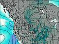
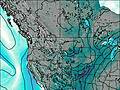
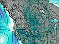
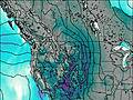
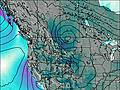
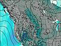
This table gives the weather forecast for Crazy Peak at the specific elevation of 1500 m. Our advanced weather models allow us to provide distinct weather forecasts for several elevations of Crazy Peak. To see the weather forecasts for the other elevations, use the tab navigation above the table. For a wider overview of the weather, consult the Weather Map of Montana.
| Weather Station | Temp. | Weather | Wind | Gusts | Cloud / Visibility |
|---|---|---|---|---|---|
Livingston Airport | |||||
Harlowtown - Wheatland (Montana) | |||||
* NOTE: not all weather observatories update at the same frequency which is the reason why some locations may show data from stations that are further away than known closer ones.