– Lat/Long: 46.10° N 7.85° E
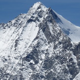
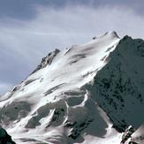
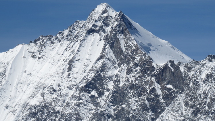
 Dom
Dom
Weather Forecast, SwitzerlandIssued: 6 am Sat 29 Mar Local TimeUpdates in: hr min sUpdate imminent
Dom Weather Forecast, Switzerland
Issued: 6 am Sat 29 Mar Local Time
Updates in:
Update imminent hr min s

Issued: 6 am Sat 29 Mar Local Time
Updates in:
Update imminent hr min s
Days 1–3 Weather SummaryA dusting of new snow. Freeze-thaw conditions (max 3°C on Sun morning, min -4°C on Mon night). Wind will be generally light. | Days 4–6 Weather SummaryA moderate fall of snow, heaviest on Tue morning. Freeze-thaw conditions (max 3°C on Thu night, min -3°C on Tue morning). Wind will be generally light. | |||||||||||||||||
Saturday 29 | Sunday 30 | Monday 31 | Tuesday 1 | Wednesday 2 | Thursday 3 | |||||||||||||
AM | PM | night | AM | PM | night | AM | PM | night | AM | PM | night | AM | PM | night | AM | PM | night | |
cloudy | some clouds | some clouds | clear | some clouds | some clouds | clear | clear | snow shwrs | snow shwrs | cloudy | light snow | light snow | light snow | snow shwrs | some clouds | some clouds | some clouds | |
km/h | ||||||||||||||||||
 |  |  |  |  |  | |||||||||||||
— | — | — | — | — | — | — | — | 1.0 | 2.0 | — | 2.0 | 2.0 | 2.0 | 4 | — | — | — | |
— | — | — | — | — | — | — | — | — | — | — | — | — | — | — | — | — | — | |
max°C | 0 | 0 | 0 | 3 | 3 | 1 | 3 | 3 | 1 | -2 | -1 | -1 | 0 | 0 | -1 | 1 | 2 | 3 |
min°C | -2 | -1 | -1 | 3 | 1 | -1 | 2 | 1 | -4 | -3 | -1 | -1 | 0 | -1 | -2 | 0 | 1 | 0 |
-6 | -5 | -5 | 0 | -3 | -6 | -2 | -2 | -8 | -8 | -4 | -4 | -4 | -4 | -5 | -3 | 1 | 0 | |
1750 | 2000 | 1700 | 2500 | 2500 | 2050 | 2250 | 2350 | 2000 | 1550 | 1850 | 1850 | 2000 | 2050 | 1750 | 2000 | 2250 | 2150 | |
Cloud base (m) | 2850 | 2850 | 2850 | 2850 | 2850 | 2850 | 3400 | 2900 | 2850 | 2850 | 2850 | 2850 | 2900 | 2850 | ||||
6:13 | — | — | 7:11 | — | — | 6:09 | — | — | 6:07 | — | — | 6:05 | — | — | 6:03 | — | — | |
— | 6:52 | — | — | 7:53 | — | — | 6:54 | — | — | 6:55 | — | — | 6:58 | — | — | 6:59 | — | |
Dom Weather (Days 0-3):
The weather forecast for Dom is: A dusting of new snow. Freeze-thaw conditions (max 3°C on Sun morning, min -4°C on Mon night). Wind will be generally light.
Dom Weather (Days 3-6):
A moderate fall of snow, heaviest on Tue morning. Freeze-thaw conditions (max 3°C on Thu night, min -3°C on Tue morning). Wind will be generally light.
This table gives the weather forecast for Dom at the specific elevation of 2000 m. Our advanced weather models allow us to provide distinct weather forecasts for several elevations of Dom. To see the weather forecasts for the other elevations, use the tab navigation above the table. For a wider overview of the weather, consult the Weather Map of Switzerland.