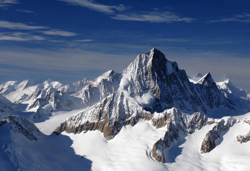
Finsteraarhorn guide
- Elevation: 4273 m
- Difficulty: Technical Climb
- Best months to climb: July, August, September
- Convenient center: Brig, Switzerland
Finsteraarhorn Climbing Notes
Paul Sidor from GERMANY writes:
On the ascent via the normal route, you remain on the west side until reaching the Hugisattel (approximately 3 hours and 1,000 meters of elevation gain from the Finsteraarhorn Hut), which stays in the shade throughout the morning. Here, temperatures are typically around 10 degrees Celsius lower than forecasted. On the summit ridge, however, the forecast is usually accurate.
2025-02-14 |
Click here to submit your own climbing note for Finsteraarhorn
|

Select Finsteraarhorn Location Map Detail:
Use this relief map to navigate to mountain peaks in the area of Finsteraarhorn.
10 other mountain peaks closest to Finsteraarhorn:
 Finsteraarhorn – Climbing, Hiking & Mountaineering information


