– Lat/Long: 51.87° N 3.78° W
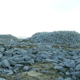
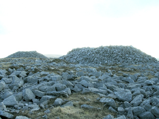
 Garreg Las
Weather Forecast, United KingdomIssued: 12 am Tue 22 Apr Local TimeUpdates in: hr min sUpdate imminent
Garreg Las Weather Forecast, United Kingdom
Issued: 12 am Tue 22 Apr Local Time
Updates in:
Update imminent hr min s

Issued: 12 am Tue 22 Apr Local Time
Updates in:
Update imminent hr min s
Days 1–4 Weather SummaryModerate rain (total 13mm), heaviest on Tue night. Mild temperatures (max 9°C on Thu afternoon, min 4°C on Mon night). Winds decreasing (strong winds from the S on Tue night, calm by Wed night). | Days 5–7 Weather SummaryModerate rain (total 17mm), heaviest on Fri afternoon. Mild temperatures (max 9°C on Thu night, min 5°C on Fri night). Winds increasing (light winds from the SSW on Thu night, strong winds from the SW by Sun afternoon). | ||||||||||||||||||
Tuesday 22 | Wednesday 23 | Thursday 24 | Friday 25 | Saturday 26 | Sunday 27 | ||||||||||||||
night | AM | PM | night | AM | PM | night | AM | PM | night | AM | PM | night | AM | PM | night | AM | PM | night | |
some clouds | rain shwrs | rain shwrs | rain shwrs | rain shwrs | cloudy | some clouds | rain shwrs | some clouds | light rain | light rain | heavy rain | rain shwrs | light rain | rain shwrs | light rain | rain shwrs | rain shwrs | some clouds | |
km/h | |||||||||||||||||||
 |  |  |  |  |  |  | |||||||||||||
— | — | — | — | — | — | — | — | — | — | — | — | — | — | — | — | — | — | — | |
— | 0.1 | 0.5 | 12 | 0.1 | — | — | 0.1 | — | 1.3 | 1.3 | 10 | 1.3 | 0.4 | 0.4 | 1.5 | 0.5 | 0.2 | — | |
max°C | 4 | 7 | 8 | 6 | 7 | 7 | 6 | 8 | 9 | 9 | 9 | 8 | 7 | 7 | 7 | 8 | 9 | 9 | 8 |
min°C | 4 | 6 | 7 | 5 | 7 | 6 | 4 | 7 | 9 | 7 | 8 | 8 | 5 | 6 | 7 | 7 | 8 | 9 | 7 |
1 | 2 | 3 | 2 | 4 | 5 | 3 | 5 | 8 | 4 | 5 | 5 | 0 | 1 | 2 | 2 | 4 | 4 | 3 | |
1450 | 1450 | 1550 | 1650 | 1850 | 2200 | 1800 | 1700 | 2250 | 2300 | 2100 | 2050 | 1750 | 1450 | 1550 | 2150 | 2250 | 2500 | 2600 | |
Cloud base (m) | 200 | 400 | 1950 | 200 | 250 | 600 | 500 | 1500 | 700 | 500 | 500 | 200 | 300 | 300 | 650 | 300 | 200 | 500 | 250 |
— | 6:05 | — | — | 6:01 | — | — | 6:00 | — | — | 5:58 | — | — | 5:56 | — | — | 5:54 | — | — | |
— | — | 8:22 | — | — | 8:24 | — | — | 8:25 | — | — | 8:28 | — | — | 8:30 | — | — | 8:30 | — | |
Loading...
Garreg Las Weather (Days 0-3):
The weather forecast for Garreg Las is: Moderate rain (total 13mm), heaviest on Tue night. Mild temperatures (max 9°C on Thu afternoon, min 4°C on Mon night). Winds decreasing (strong winds from the S on Tue night, calm by Wed night).
Garreg Las Weather (Days 3-6):
Moderate rain (total 17mm), heaviest on Fri afternoon. Mild temperatures (max 9°C on Thu night, min 5°C on Fri night). Winds increasing (light winds from the SSW on Thu night, strong winds from the SW by Sun afternoon).
This table gives the weather forecast for Garreg Las at the specific elevation of 635 m. Our advanced weather models allow us to provide distinct weather forecasts for several elevations of Garreg Las. To see the weather forecasts for the other elevations, use the tab navigation above the table. For a wider overview of the weather, consult the Weather Map of United Kingdom.
| Weather Station | Temp. | Weather | Wind | Gusts | Cloud / Visibility |
|---|---|---|---|---|---|
SennybridgeNO2 | |||||
Llethryd Barns | |||||
Blorenge | |||||
Scarweather WaveNet Site | |||||
Llantrithyd Park | |||||
St.Athan | |||||
* NOTE: not all weather observatories update at the same frequency which is the reason why some locations may show data from stations that are further away than known closer ones.