– Lat/Long: 51.88° N 2.87° W
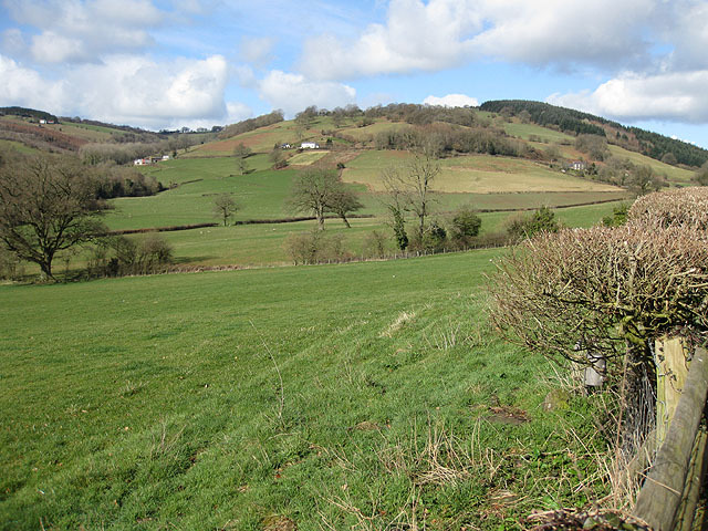
 Graig Syfyrddin
Weather Forecast, United KingdomIssued: 12 pm Tue 22 Apr Local TimeUpdates in: hr min sUpdate imminent
Graig Syfyrddin Weather Forecast, United Kingdom
Issued: 12 pm Tue 22 Apr Local Time
Updates in:
Update imminent hr min s

Issued: 12 pm Tue 22 Apr Local Time
Updates in:
Update imminent hr min s
Days 1–3 Weather SummaryModerate rain (total 14mm), heaviest on Tue night. Very mild (max 11°C on Thu afternoon, min 6°C on Tue night). Winds decreasing (fresh winds from the S on Tue night, calm by Thu afternoon). | Days 4–6 Weather SummaryLight rain (total 4mm), mostly falling on Fri night. Very mild (max 13°C on Sat afternoon, min 7°C on Fri night). Winds increasing (calm on Fri night, fresh winds from the SW by Sun afternoon). | |||||||||||||||||
Tuesday 22 | Wednesday 23 | Thursday 24 | Friday 25 | Saturday 26 | Sunday 27 | |||||||||||||
AM | PM | night | AM | PM | night | AM | PM | night | AM | PM | night | AM | PM | night | AM | PM | night | |
cloudy | light rain | heavy rain | light rain | light rain | rain shwrs | rain shwrs | light rain | some clouds | light rain | light rain | light rain | rain shwrs | rain shwrs | clear | some clouds | some clouds | some clouds | |
km/h | ||||||||||||||||||
 |  |  |  |  |  | |||||||||||||
— | — | — | — | — | — | — | — | — | — | — | — | — | — | — | — | — | — | |
— | 0.6 | 12 | 0.2 | 0.6 | 0.2 | 0.1 | 0.2 | — | 0.2 | 0.2 | 3 | 0.6 | 0.5 | — | — | — | — | |
max°C | 9 | 10 | 7 | 6 | 10 | 8 | 10 | 11 | 9 | 10 | 11 | 9 | 11 | 13 | 9 | 12 | 13 | 9 |
min°C | 8 | 9 | 6 | 6 | 9 | 6 | 8 | 11 | 7 | 9 | 10 | 7 | 8 | 12 | 7 | 10 | 12 | 8 |
5 | 6 | 4 | 2 | 6 | 5 | 7 | 11 | 5 | 6 | 8 | 5 | 8 | 10 | 5 | 8 | 10 | 6 | |
1400 | 1550 | 1700 | 1750 | 1700 | 1750 | 1750 | 1950 | 2050 | 2000 | 2050 | 2100 | 2000 | 2050 | 2400 | 2600 | 2600 | 2700 | |
Cloud base (m) | 2050 | 800 | 150 | 300 | 400 | 850 | 5500 | 800 | 1000 | 900 | 700 | 650 | 300 | 600 | 700 | 3000 | ||
6:01 | — | — | 5:58 | — | — | 5:56 | — | — | 5:54 | — | — | 5:52 | — | — | 5:50 | — | — | |
— | 8:19 | — | — | 8:21 | — | — | 8:22 | — | — | 8:23 | — | — | 8:25 | — | — | 8:28 | — | |
Loading...
Graig Syfyrddin Weather (Days 0-3):
The weather forecast for Graig Syfyrddin is: Moderate rain (total 14mm), heaviest on Tue night. Very mild (max 11°C on Thu afternoon, min 6°C on Tue night). Winds decreasing (fresh winds from the S on Tue night, calm by Thu afternoon).
Graig Syfyrddin Weather (Days 3-6):
Light rain (total 4mm), mostly falling on Fri night. Very mild (max 13°C on Sat afternoon, min 7°C on Fri night). Winds increasing (calm on Fri night, fresh winds from the SW by Sun afternoon).
This table gives the weather forecast for Graig Syfyrddin at the specific elevation of 423 m. Our advanced weather models allow us to provide distinct weather forecasts for several elevations of Graig Syfyrddin. To see the weather forecasts for the other elevations, use the tab navigation above the table. For a wider overview of the weather, consult the Weather Map of United Kingdom.
| Weather Station | Temp. | Weather | Wind | Gusts | Cloud / Visibility |
|---|---|---|---|---|---|
Blorenge | |||||
Hereford-Credenhill | |||||
ShobdonAirfield | |||||
Gloucestershire Airpor / taverton Airport | |||||
SennybridgeNO2 | |||||
Bristo / ulsgate Airport | |||||
Llantrithyd Park | |||||
Weston Bay Waverider | |||||
Pershore | |||||
Cardiff-Wales Airport |
* NOTE: not all weather observatories update at the same frequency which is the reason why some locations may show data from stations that are further away than known closer ones.
Graig Syfyrddin Photos
View all
Black Mountains photos (20) |
Cambrian Mountains photos (326) |
photos from mountains in United Kingdom (1956) |
all photos
 Upload new photo
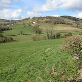
Graig Syfyrddin

