– Lat/Long: 46.36° N 14.54° E
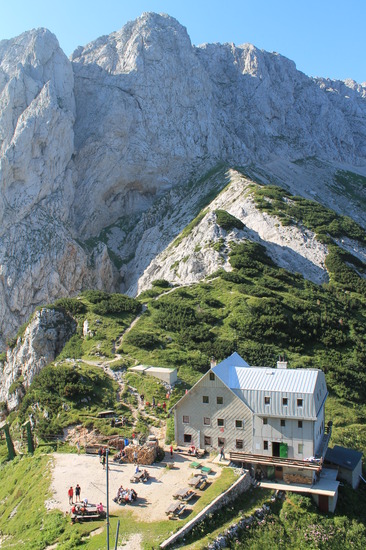
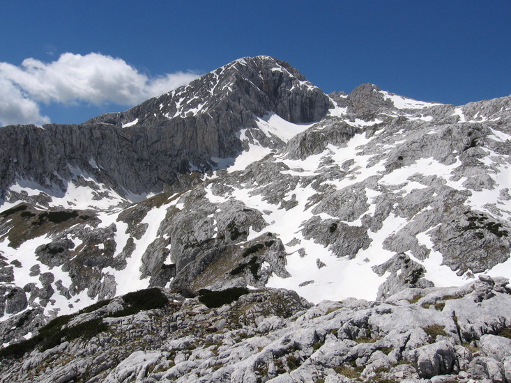
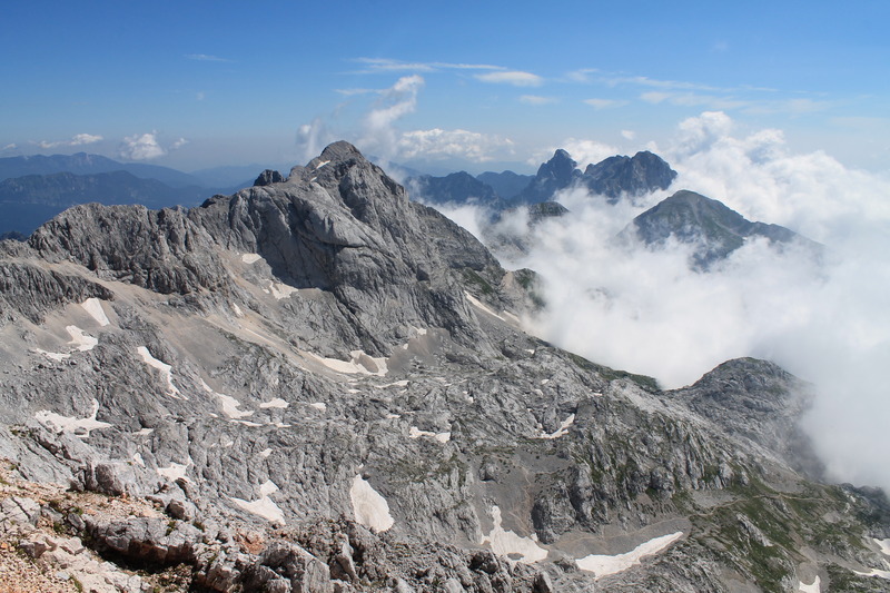
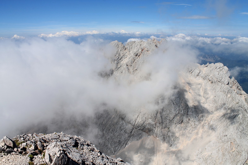
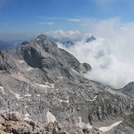
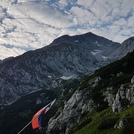
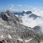
 Grintovec – Climbing, Hiking & Mountaineering information

Grintovec guide
- Elevation: 8393 ft
- Difficulty:
- Best months to climb:
- Convenient center:
Grintovec Climbing NotesBe the first to submit your climbing note! Please submit any useful information about climbing Grintovec that may be useful to other climbers. Consider things such as access and accommodation at the base of Grintovec, as well as the logistics of climbing to the summit. |

| Select a
mountain summit from the menu |
||
|
Select a Mountain Summit
|
||


Use this relief map to navigate to mountain peaks in the area of Grintovec.
10 other mountain peaks closest to Grintovec:
| 1. | Skuta (8307 ft) | 0.9 miles |
| 2. | Krvavec (6388 ft) | 4.2 miles |
| 3. | Storžiè (6995 ft) | 6.3 miles |
| 4. | Koöuta (6851 ft) | 12.0 miles |
| 5. | Peca (mountain) (6975 ft) | 14.7 miles |
| 6. | Šmarna Gora (2218 ft) | 16.1 miles |
| 7. | MTB-ZONE Bikepark Petzen (5489 ft) | 16.6 miles |
| 8. | Golte (5099 ft) | 17.0 miles |
| 9. | Hochstuhl (7336 ft) | 17.6 miles |
| 10. | Stol (mountain) (7336 ft) | 18.1 miles |

