– Lat/Long: 8.62° S 120.52° E
 Gunung Ranakah – Climbing, Hiking & Mountaineering information

Gunung Ranakah guide
- Elevation: 6890 ft
- Difficulty:
- Best months to climb:
- Convenient center:
Gunung Ranakah Climbing NotesBe the first to submit your climbing note! Please submit any useful information about climbing Gunung Ranakah that may be useful to other climbers. Consider things such as access and accommodation at the base of Gunung Ranakah, as well as the logistics of climbing to the summit. |

| Select a
mountain summit from the menu |
||
|
Select a Mountain Summit
|
||


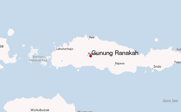
Use this relief map to navigate to mountain peaks in the area of Gunung Ranakah.
10 other mountain peaks closest to Gunung Ranakah:
| 1. | Poco Leok (5496 ft) | 5.0 miles |
| 2. | Poco Mandasawu (7776 ft) | 5.2 miles |
| 3. | Inielika (5115 ft) | 32.4 miles |
| 4. | Inierie (7366 ft) | 34.3 miles |
| 5. | Wai Sano (2963 ft) | 34.9 miles |
| 6. | Ebulobo (6969 ft) | 47.0 miles |
| 7. | Mount Iya (2090 ft) | 79.2 miles |
| 8. | Rokatenda (2871 ft) | 83.4 miles |
| 9. | Sukaria Caldera (4922 ft) | 86.3 miles |
| 10. | Mount Sukaria (4922 ft) | 86.3 miles |

