Haltiatunturi guide
- Elevation: 1324 m
- Difficulty:
- Best months to climb:
- Convenient center:
Haltiatunturi Climbing Notes
Steve O from UNITED KINGDOM writes:
Halti from Norway 04/07/15
Drove in from Britavarre along the 25km unsurfaced track. The last 7km was just about passable with care with a non 4X4 car. However even in July the snow was close to the road edge at times and it is likely the road was blocked a few weeks earlier.We wild camped near then reindeer herders huts at the eastern end of Guolaasjavri lake. Plenty of flat ground and water.
We followed the route up to Halti from Carl McKeating’s book Europe’s High Points. As the mist was down to around 900m we navigated using a combination of map, compass and Garmin GPS using the following UTM coordinates (check before use)
Roadhead – 0508300, 7693500. Lake – 0507850, 7692400. Between 1174 and 1186 spot heights – 0508600, 7691050. Col – 0511000, 7689300. Halti cairn – 0510450, 7688720. Navigation in poor visibility is particularly challenging as there are very few distinctive landmarks.
The terrain was a mixture of boulder hopping and walking on snow. While the snow made for easier walking on many occasions we sank up to thigh depth in soft snow. We found the summit cairn, painted yellow, at what appeared to be a slightly lower level than the high point. After recording our names in the visitors book we returned to the roadhead by our ascent route. Although the times in the book for ascent and decent are 4-6hrs each way we took less than 3 hrs each way.
2015-07-08 |
Click here to submit your own climbing note for Haltiatunturi
|

Select Haltiatunturi Location Map Detail:
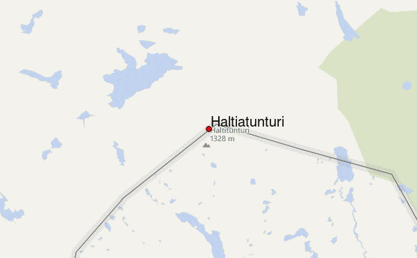
Use this relief map to navigate to mountain peaks in the area of Haltiatunturi.
10 other mountain peaks closest to Haltiatunturi:


 Like us
 Follow us
 Follow us