Humboldt Peak guide
- Elevation: 4287 m
- Difficulty: Walk up
- Best months to climb: June, July, August, September
- Convenient center: Westcliffe
Humboldt Peak Climbing Notes
Brad from UNITED STATES writes:
Drove up to upper 4 wheel drive intermediate level road. Pleasant walk up the remaining road and trail to the lakes. Easy to see the trail to the ridgeline then becomes more difficult to find as the r\steeper rock formations build and get larger. Route finding is essential here. You remain on the north side of the ridge for about half way up, then transition to the top of the ridge before the false summit, walk across a small saddle and then go right around a small 10 foot cliff and up to the summit. There is a small rock shelter for two at the top. It was extremely windy at cold on the ridgeline and worse at the summit on 6/8/20. winds decreased as soon as you leave the ridge going down the switchbacks. 11 miles total 32,000 steps.
2020-06-09 |
Click here to read 1 more climbing note for Humboldt Peak or submit your own
|

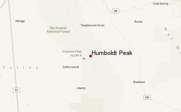
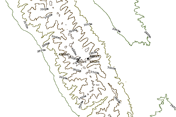
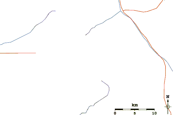
Select Humboldt Peak Location Map Detail:
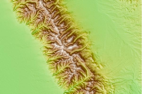
Use this relief map to navigate to mountain peaks in the area of Humboldt Peak.
10 other mountain peaks closest to Humboldt Peak:


 Like us
 Follow us
 Follow us