Imbabura Volcano guide
- Elevation: 4630 m
- Difficulty:
- Best months to climb:
- Convenient center:
Imbabura Volcano Climbing Notes
Hugh Vincent from ECUADOR writes:
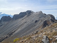
Begin from village of Cashaloma. Highly recommended to start at or before 6am, or the summit ridge will almost certainly become cloudy and make conditions more dangerous. Very steep and enduring climb. If planning on going to second summit, be safe and sure footed, the last section before the 2nd summit needs climbing. Views are perfect when clear, 360° from the maximum elevation. Very difficult mountain, but well signposted all the way through with an obvious trail.
2024-12-15 |
Click here to read 1 more climbing note for Imbabura Volcano or submit your own
|

Select Imbabura Volcano Location Map Detail:
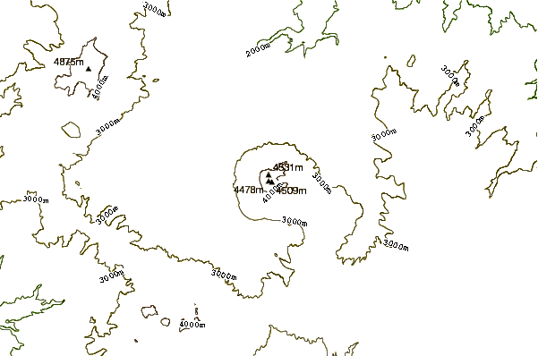
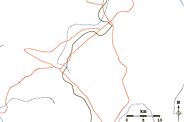
Use this relief map to navigate to mountain peaks in the area of Imbabura Volcano.
10 other mountain peaks closest to Imbabura Volcano:


 Like us
 Follow us
 Follow us