– Lat/Long: 33.80° N 116.67° W
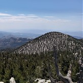
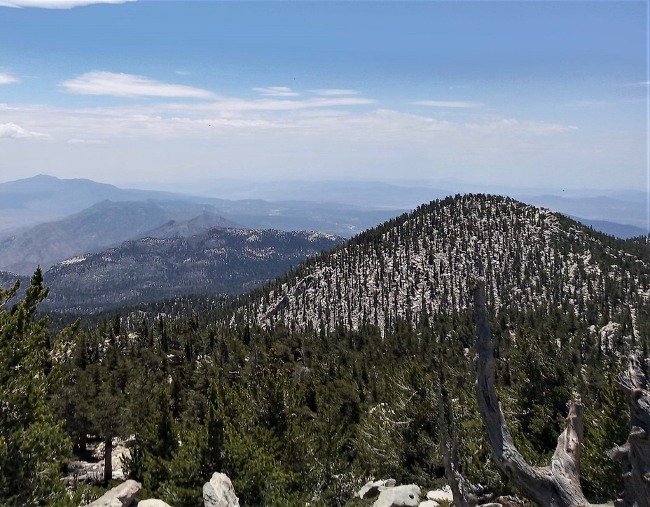
 Jean Peak
Weather Forecast, United StatesIssued: 10 pm Fri 18 Apr Local TimeUpdates in: hr min sUpdate imminent
Jean Peak Weather Forecast, United States
Issued: 10 pm Fri 18 Apr Local Time
Updates in:
Update imminent hr min s

Issued: 10 pm Fri 18 Apr Local Time
Updates in:
Update imminent hr min s
Days 1–4 Weather SummaryMostly dry. Freeze-thaw conditions (max 4°C on Sun night, min -4°C on Fri night). Winds decreasing (strong winds from the N on Fri night, calm by Sun morning). | Days 5–7 Weather SummaryMostly dry. Temperatures will be slightly above freezing (max 4°C on Tue night, min 2°C on Mon night). Wind will be generally light. | ||||||||||||||||||
Saturday 19 | Sunday 20 | Monday 21 | Tuesday 22 | Wednesday 23 | Thursday 24 | ||||||||||||||
night | AM | PM | night | AM | PM | night | AM | PM | night | AM | PM | night | AM | PM | night | AM | PM | night | |
clear | clear | clear | clear | clear | clear | some clouds | clear | cloudy | clear | clear | clear | clear | clear | clear | clear | some clouds | clear | clear | |
km/h | |||||||||||||||||||
 |  |  |  |  |  |  | |||||||||||||
— | — | — | — | — | — | — | — | — | — | — | — | — | — | — | — | — | — | — | |
— | — | — | — | — | — | — | — | — | — | — | — | — | — | — | — | — | — | — | |
max°C | -4 | -2 | 0 | 3 | 3 | 2 | 4 | 3 | 3 | 3 | 2 | 3 | 4 | 2 | 3 | 3 | 3 | 4 | 4 |
min°C | -4 | -3 | -1 | 2 | 2 | 2 | 4 | 3 | 2 | 2 | 2 | 2 | 3 | 2 | 2 | 3 | 2 | 3 | 4 |
-10 | -11 | -5 | -2 | 0 | -1 | 0 | 0 | 0 | 0 | -1 | 0 | 3 | 0 | 0 | 0 | -1 | 0 | 2 | |
2650 | 2950 | 3200 | 3750 | 3600 | 3600 | 3750 | 3600 | 3600 | 3600 | 3500 | 3650 | 3650 | 3500 | 3600 | 3650 | 3600 | 3750 | 3750 | |
Cloud base (m) | 9400 | 8150 | 8650 | 8850 | |||||||||||||||
— | 6:11 | — | — | 6:09 | — | — | 6:09 | — | — | 6:07 | — | — | 6:05 | — | — | 6:05 | — | — | |
— | — | 7:20 | — | — | 7:21 | — | — | 7:22 | — | — | 7:22 | — | — | 7:22 | — | — | 7:23 | — | |
Loading...
Jean Peak Weather (Days 0-3):
The weather forecast for Jean Peak is: Mostly dry. Freeze-thaw conditions (max 4°C on Sun night, min -4°C on Fri night). Winds decreasing (strong winds from the N on Fri night, calm by Sun morning).
Jean Peak Weather (Days 3-6):
Mostly dry. Temperatures will be slightly above freezing (max 4°C on Tue night, min 2°C on Mon night). Wind will be generally light.
This table gives the weather forecast for Jean Peak at the specific elevation of 3252 m. Our advanced weather models allow us to provide distinct weather forecasts for several elevations of Jean Peak. To see the weather forecasts for the other elevations, use the tab navigation above the table. For a wider overview of the weather, consult the Weather Map of California.
| Weather Station | Temp. | Weather | Wind | Gusts | Cloud / Visibility |
|---|---|---|---|---|---|
Therma / alm Spings Airport | |||||
French Valley- Murriet / emecula Airport (California) | |||||
Big Bear City Airport (California) | |||||
Riversid / arch Air Force Base Airport | |||||
San Bernardino Airport | |||||
TheE | |||||
Edwards | |||||
* NOTE: not all weather observatories update at the same frequency which is the reason why some locations may show data from stations that are further away than known closer ones.