Kackar guide
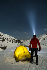
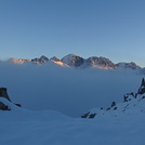
Kackar
Photo credit: erol keteci

Kackar
Photo credit: Ramazan BOZKURT

Kackar
Photo credit: Ramazan BOZKURT

Kackar
Photo credit: Ramazan BOZKURT
- Elevation: 3942 m
- Difficulty: Scramble
- Best months to climb: July, August
- Convenient center: Ayder and Yusufeli
Kackar Climbing Notes
erkan öz from TURKEY writes:
Rize-Ardesen on the highway, Storm Valley route, Camlihemsin County 'what (18 km) route and Zilkale Ayder. After reaching your destination can be reached in two separate routes.
Ayder transportation route, 16 km begin to Ayder. Ayder plateau of about 25 pieces of small hotels and hostels there. The majority of these works as a family business. Kavron down and up the plateau, respectively Kavron hostels to provide accommodation highland plateau, go up there Kavron Kavron up a long valley on foot to reach the plateau Kaçkar ox reached the camp bed in the camp area called the ice ages are a source of water from the potable water is a very classic to the top small glacier on the left side is done through the mass of the summit route. The other route through the large glacial ice climbing routes most convenient for the months of July, August and September are the months of winter climbing, snow is more difficult is the route to the region Vad.
2010-12-13 |
Click here to submit your own climbing note for Kackar
|

Select Kackar Location Map Detail:
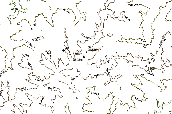
Use this relief map to navigate to mountain peaks in the area of Kackar.
10 other mountain peaks closest to Kackar:





 Like us
 Follow us
 Follow us