Knocknarea guide
- Elevation: 329 m
- Difficulty:
- Best months to climb: May, June, July, August, September
- Convenient center: Sligo Town
Knocknarea Climbing Notes
Editor from IRELAND writes:
Located near Sligo towards Strandhill / Carrowmore.
Directions: From Sligo- go past Sligo Showgrounds (Sligo Rovers) on past St Mary's Gaa Club and Mitchell Curley Park, Continue out country road, until just after Primrose Grange House you will see a sign for the Cairn.
Access: Car Park at base.
Glorious Views on a clear day.
Ancient burial place of Queen Maeve.
Moderate walk but can be a bit slippy during wet weather.
Just over 1,000ft high. With large cairn on top.
Passage tomb circa 3000BC !
Duration from 30 to 45 mins depending on fittness and pace. Longer if you take the time to look out over Ballisodare Bay, The Ox Mountains and Sligo.
Fantastic Views from the top including the hills of Donegal as well as views of Coney Island, Sligo Town and towards Strandhill.
Visitor Centre at Carrowmore Megalithic Tombs ( ~2Km Beyond Ransboro Church / Roundabout) for archealogical information.
passage tomb dating back to 3,000BC.
2012-06-29 |
Click here to submit your own climbing note for Knocknarea
|

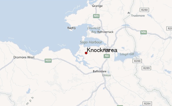
Select Knocknarea Location Map Detail:
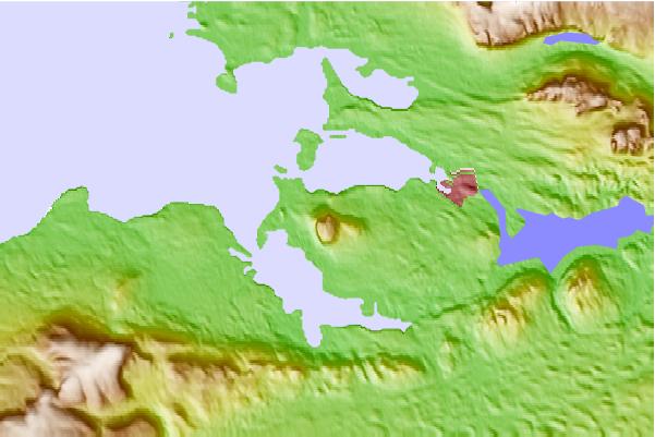
Use this relief map to navigate to mountain peaks in the area of Knocknarea.
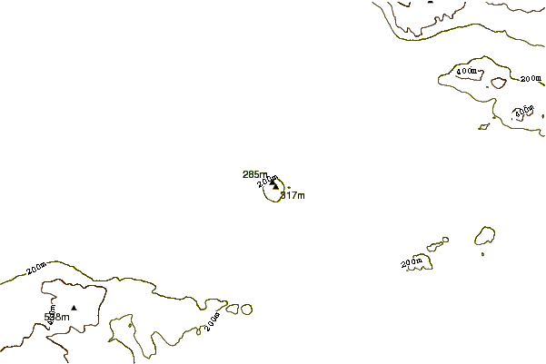
10 other mountain peaks closest to Knocknarea:


 Like us
 Follow us
 Follow us