– Lat/Long: 56.74° N 4.73° W
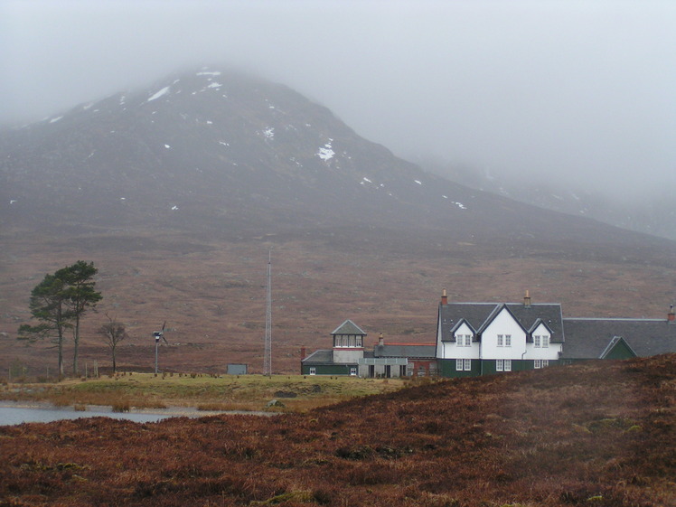
 Leum Uilleim
Weather Forecast, United KingdomIssued: 12 am Mon 21 Apr Local TimeUpdates in: hr min sUpdate imminent
Leum Uilleim Weather Forecast, United Kingdom
Issued: 12 am Mon 21 Apr Local Time
Updates in:
Update imminent hr min s

Issued: 12 am Mon 21 Apr Local Time
Updates in:
Update imminent hr min s
Days 1–4 Weather SummaryLight rain (total 8mm), mostly falling on Mon afternoon. Mild temperatures (max 6°C on Wed morning, min 1°C on Mon night). Wind will be generally light. | Days 5–7 Weather SummaryLight rain (total 5mm), mostly falling on Fri night. Mild temperatures (max 6°C on Sat morning, min 2°C on Thu night). Winds increasing (calm on Wed night, fresh winds from the S by Fri night). | ||||||||||||||||||
Monday 21 | Tuesday 22 | Wednesday 23 | Thursday 24 | Friday 25 | Saturday 26 | ||||||||||||||
night | AM | PM | night | AM | PM | night | AM | PM | night | AM | PM | night | AM | PM | night | AM | PM | night | |
some clouds | rain shwrs | light rain | rain shwrs | some clouds | light rain | clear | rain shwrs | light rain | light rain | light rain | rain shwrs | some clouds | light rain | light rain | light rain | rain shwrs | rain shwrs | some clouds | |
km/h | |||||||||||||||||||
 |  |  |  |  |  |  | |||||||||||||
— | — | — | — | — | — | — | — | — | — | — | — | — | — | — | — | — | — | — | |
— | 0.1 | 4 | 4 | — | 0.1 | — | 0.1 | 0.3 | 0.1 | 0.1 | 0.1 | — | 0.1 | 1.0 | 3 | 0.3 | 0.1 | — | |
max°C | 4 | 4 | 4 | 3 | 4 | 5 | 4 | 6 | 6 | 4 | 5 | 5 | 4 | 4 | 4 | 4 | 6 | 6 | 4 |
min°C | 3 | 4 | 3 | 1 | 2 | 4 | 3 | 5 | 5 | 4 | 5 | 5 | 2 | 4 | 4 | 4 | 5 | 6 | 4 |
-1 | 0 | 1 | -3 | -2 | 1 | 0 | 3 | 4 | 2 | 5 | 4 | -3 | -1 | -1 | -1 | 1 | 2 | 0 | |
1550 | 1450 | 1450 | 1350 | 1100 | 1400 | 1500 | 1550 | 1650 | 1550 | 1700 | 1500 | 1500 | 1600 | 1650 | 1850 | 1650 | 1700 | 1600 | |
Cloud base (m) | 1450 | 1500 | 450 | 350 | 650 | 850 | 1950 | 650 | 1600 | 700 | 700 | 800 | 900 | 950 | 400 | 350 | 450 | 900 | 1650 |
— | 5:56 | — | — | 5:54 | — | — | 5:52 | — | — | 5:50 | — | — | 5:47 | — | — | 5:45 | — | — | |
— | — | 8:38 | — | — | 8:40 | — | — | 8:43 | — | — | 8:45 | — | — | 8:46 | — | — | 8:49 | — | |
Loading...
Leum Uilleim Weather (Days 0-3):
The weather forecast for Leum Uilleim is: Light rain (total 8mm), mostly falling on Mon afternoon. Mild temperatures (max 6°C on Wed morning, min 1°C on Mon night). Wind will be generally light.
Leum Uilleim Weather (Days 3-6):
Light rain (total 5mm), mostly falling on Fri night. Mild temperatures (max 6°C on Sat morning, min 2°C on Thu night). Winds increasing (calm on Wed night, fresh winds from the S by Fri night).
This table gives the weather forecast for Leum Uilleim at the specific elevation of 909 m. Our advanced weather models allow us to provide distinct weather forecasts for several elevations of Leum Uilleim. To see the weather forecasts for the other elevations, use the tab navigation above the table. For a wider overview of the weather, consult the Weather Map of United Kingdom.
Leum Uilleim Photos
View all
Grampians photos (156) |
Scottish Highlands photos (288) |
photos from mountains in United Kingdom (1953) |
all photos
 Upload new photo
Leum Uilleim

