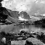
Medicine Bow Peak guide
- Elevation: 3662 m
- Difficulty: Walk up
- Best months to climb: July, August, September
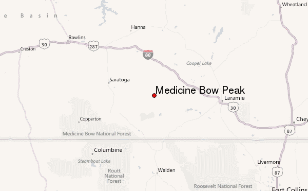
- Convenient center: Laramie, WY
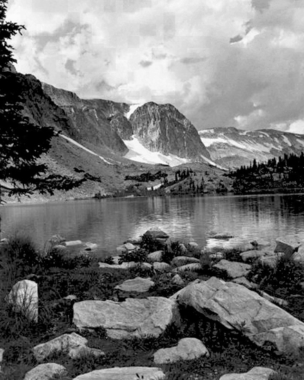
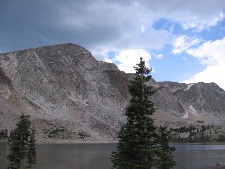
Medicine Bow Peak Climbing Notes
Nick Solovieff from UNITED STATES writes:
Mountain-Forecast.com was spot-on each time I attempted this mountain. The hike up is easy if the weather isn't bad but if you're going to try in the wintertime, I highly recommend snowshoes--a buddy and I attempted this in late November, and after postholing suddenly up to our hips at times, we deemed the danger too great to justify continuing on. The Marie Lake trailhead was the one I've used each time, and it's well worth it. If you hike it at night in the summer though, be prepared for bats around the summit ;)
2019-09-27 |
Click here to read 2 more climbing notes for Medicine Bow Peak or submit your own
|
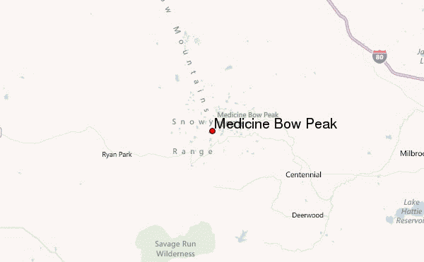
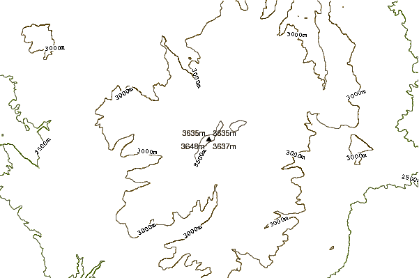
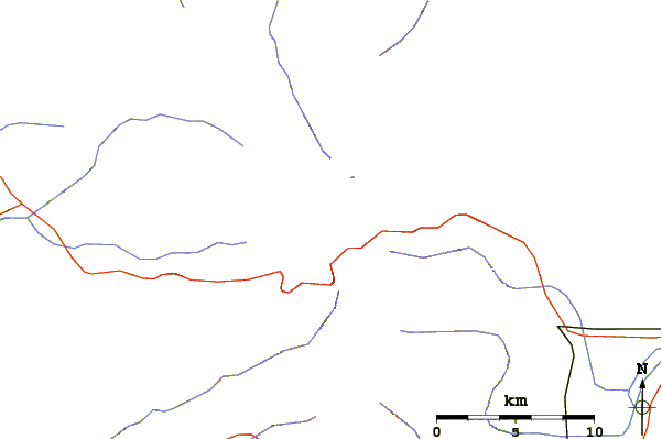
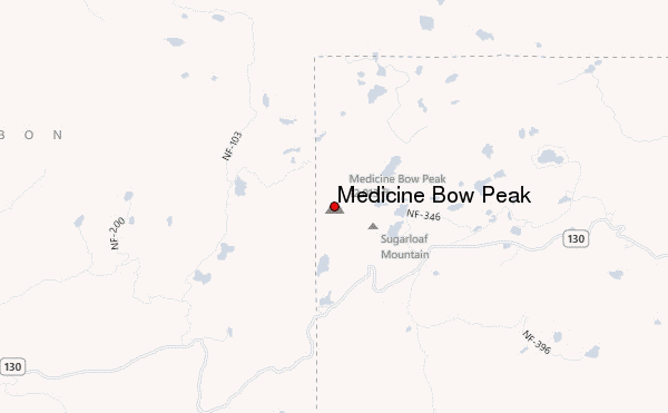
Select Medicine Bow Peak Location Map Detail:
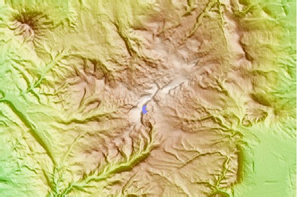
Use this relief map to navigate to mountain peaks in the area of Medicine Bow Peak.
10 other mountain peaks closest to Medicine Bow Peak:
 Medicine Bow Peak – Climbing, Hiking & Mountaineering information

