– Lat/Long: 45.83° N 6.87° E
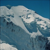
 Mont Blanc
Weather Forecast, FranceIssued: 7 am Wed 23 Apr Local TimeUpdates in: hr min sUpdate imminent
Mont Blanc Weather Forecast, France
Issued: 7 am Wed 23 Apr Local Time
Updates in:
Update imminent hr min s

Issued: 7 am Wed 23 Apr Local Time
Updates in:
Update imminent hr min s
Days 1–3 Weather SummaryA moderate fall of snow, heaviest on Wed night. Extremely cold (max -12°C on Fri night, min -18°C on Wed night). Mainly near gales. | Days 4–6 Weather SummaryA moderate fall of snow, heaviest on Sat night. Extremely cold (max -13°C on Sat morning, min -16°C on Sat night). Winds increasing (light winds from the NE on Sun night, near gales from the N by Mon night). | |||||||||||||||||
Wednesday 23 | Thursday 24 | Friday 25 | Saturday 26 | Sunday 27 | Monday 28 | |||||||||||||
AM | PM | night | AM | PM | night | AM | PM | night | AM | PM | night | AM | PM | night | AM | PM | night | |
clear | light snow | snow shwrs | clear | clear | clear | clear | clear | clear | clear | snow shwrs | snow shwrs | clear | snow shwrs | snow shwrs | some clouds | snow shwrs | snow shwrs | |
km/h | ||||||||||||||||||
 |  |  |  |  |  | |||||||||||||
— | 1.0 | 15 | — | — | — | — | — | — | — | 1.0 | 7 | — | 1.0 | 3 | — | 1.0 | 1.0 | |
— | — | — | — | — | — | — | — | — | — | — | — | — | — | — | — | — | — | |
max°C | -16 | -15 | -17 | -15 | -15 | -14 | -14 | -13 | -12 | -13 | -13 | -14 | -16 | -15 | -15 | -16 | -15 | -14 |
min°C | -17 | -16 | -18 | -16 | -15 | -16 | -14 | -14 | -13 | -13 | -13 | -16 | -16 | -16 | -16 | -16 | -15 | -15 |
-27 | -28 | -28 | -31 | -29 | -29 | -28 | -27 | -24 | -22 | -20 | -23 | -23 | -22 | -20 | -22 | -25 | -29 | |
2600 | 2500 | 1800 | 2150 | 2300 | 2100 | 2450 | 2700 | 2800 | 2800 | 2850 | 2550 | 2500 | 2650 | 2500 | 2600 | 2650 | 2600 | |
Cloud base (m) | 2200 | 2150 | 2050 | 2050 | 2200 | 2100 | 2100 | 2950 | 2700 | 2100 | 2250 | 2250 | 2150 | 2250 | 2400 | 2550 | ||
6:33 | — | — | 6:31 | — | — | 6:30 | — | — | 6:28 | — | — | 6:26 | — | — | 6:24 | — | — | |
— | — | 8:28 | — | — | 8:30 | — | — | 8:30 | — | — | 8:31 | — | — | 8:34 | — | — | 8:35 | |
Loading...
Mont Blanc Weather (Days 0-3):
The weather forecast for Mont Blanc is: A moderate fall of snow, heaviest on Wed night. Extremely cold (max -12°C on Fri night, min -18°C on Wed night). Mainly near gales.
Mont Blanc Weather (Days 3-6):
A moderate fall of snow, heaviest on Sat night. Extremely cold (max -13°C on Sat morning, min -16°C on Sat night). Winds increasing (light winds from the NE on Sun night, near gales from the N by Mon night).
This table gives the weather forecast for Mont Blanc at the specific elevation of 4807 m. Our advanced weather models allow us to provide distinct weather forecasts for several elevations of Mont Blanc. To see the weather forecasts for the other elevations, use the tab navigation above the table. For a wider overview of the weather, consult the Weather Map of France.
Mont Blanc Photos
View all
Savoy Alps photos (122) |
Alps photos (1456) |
photos from mountains in France (280) |
all photos
 Upload new photo
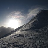


 See 40 more Mont Blanc photos
Mont Blanc
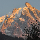
Mont Blanc massif
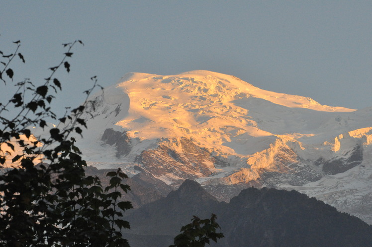
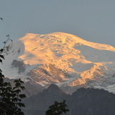
Mont Blanc in sunset
Mount Blanc massif
aiguilles du midi
Aiguille de Bionnassay

