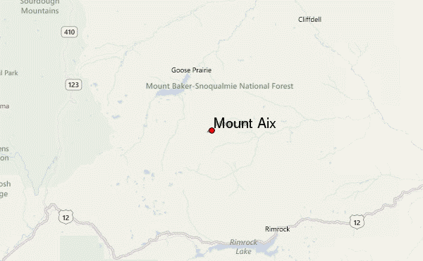
– Lat/Long: 46.80° N 121.26° W
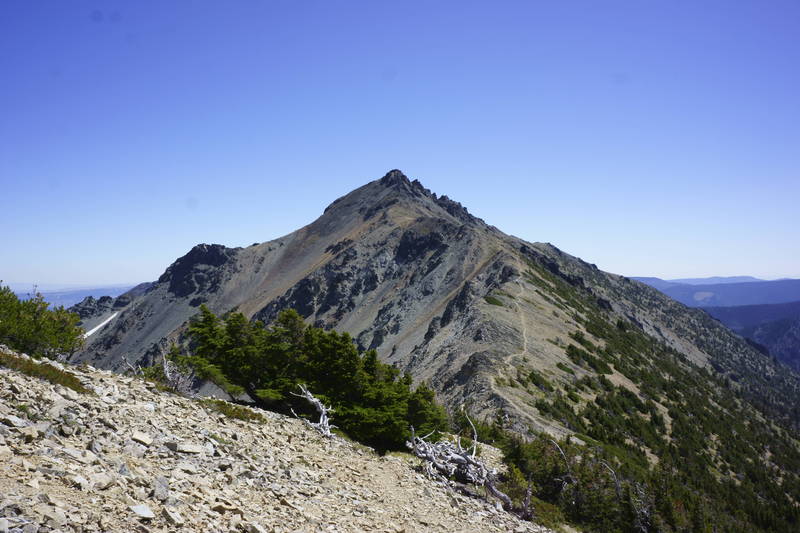
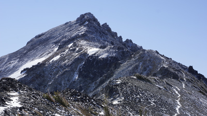
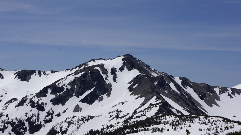
 Mount Aix – Climbing, Hiking & Mountaineering information
Mount Aix – Climbing, Hiking & Mountaineering information
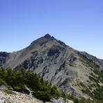
Mount Aix guide
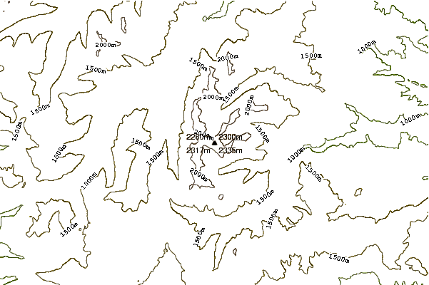
- Elevation: 2367 m
- Difficulty: Walk up
- Best months to climb: May, June, July, August, September, October
- Convenient center: Yakima
Mount Aix Climbing NotesBe the first to submit your climbing note! Please submit any useful information about climbing Mount Aix that may be useful to other climbers. Consider things such as access and accommodation at the base of Mount Aix, as well as the logistics of climbing to the summit. |
| Select a
mountain summit from the menu |
||
|
Select a Mountain Summit
|
||
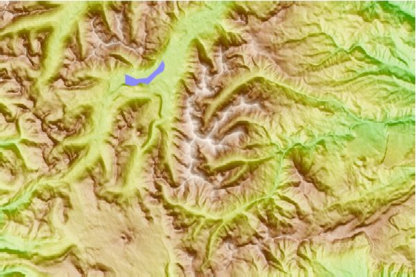
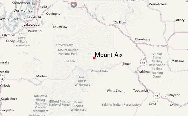
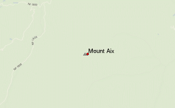
Use this relief map to navigate to mountain peaks in the area of Mount Aix.
10 other mountain peaks closest to Mount Aix:
| 1. | Bismarck Peak (2312 m) | 3.5 km |
| 2. | Nelson Butte (2182 m) | 5.2 km |
| 3. | Naches Peak (1967 m) | 20.8 km |
| 4. | Shriner Peak (1768 m) | 21.1 km |
| 5. | Yakima Peak (1898 m) | 22.1 km |
| 6. | Cowlitz Chimneys (2318 m) | 27.5 km |
| 7. | Goat Island Mountain (2221 m) | 32.2 km |
| 8. | Unicorn Peak (2125 m) | 34.3 km |
| 9. | Old Snowy (2417 m) | 34.9 km |
| 10. | Little Tahoma (3395 m) | 35.3 km |

