Mount Batur guide
- Elevation: 1717 m
- Difficulty:
- Best months to climb:
- Convenient center:
Mount Batur Climbing Notes
Click here to read 1 more climbing note for Mount Batur or submit your own |
| Select a
mountain summit from the menu |
||
|
Select a Mountain Summit
|
||


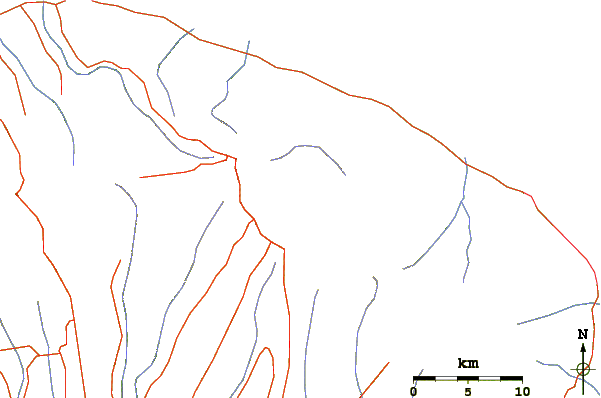
Use this relief map to navigate to mountain peaks in the area of Mount Batur.
10 other mountain peaks closest to Mount Batur:
| 1. | Batur (1717 m) | 0.0 km |
| 2. | Mount Agung (3142 m) | 18.4 km |
| 3. | Bali Bike Park (1390 m) | 26.9 km |
| 4. | Bratan (2276 m) | 27.3 km |
| 5. | Baluran (1247 m) | 119.0 km |
| 6. | Gunung Rinjani (3726 m) | 122.1 km |
| 7. | Mount Rinjani (3726 m) | 122.2 km |
| 8. | Ijen (2799 m) | 126.5 km |
| 9. | Raung (3332 m) | 147.4 km |
| 10. | Mount Raung (3332 m) | 147.4 km |


 Like us
 Follow us
 Follow us