Mount Cobberas Guide
- Elevation: 1836
- Difficulty: -
- Best months to climb: -
- Convenient center: -
Mount Cobberas climbers Notes
Bryan from AUSTRALIA writes:
We attempted this in October 2013 and failed, the original plan was to walk from the Cowombat carpark however the road is closed from the turnoff from black mountain road. This adds 8km to your trip making it an overnighter more or less. Walking is easy until you need to start up the first ridge off the path. It is extremely overgrown and scrubby as hell. It's also snake infested with copperheads so be careful we turned back after 1km of bush bashing with no end in sight. Also do not attempt this without the area map Willis and a GPS as you can become disoriented very easily in this kind of bush. Proceed with caution.
2013-10-23 |
Click here to submit your own climbing note for Mount Cobberas
|

Select Mount Cobberas Location Map Detail:
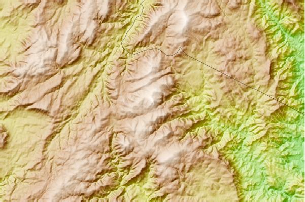
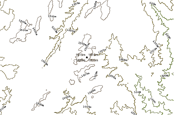
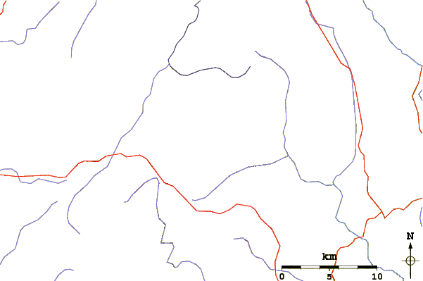
Use this relief map to navigate to mountain peaks in the area of Mount Cobberas.
10 other mountain peaks closest to Mount Cobberas:


