Mount Greylock guide
- Elevation: 1064 m
- Difficulty: Walk up
- Best months to climb: January, February, September, October, November, December
- Convenient center: Adams and Lansboro Massachusetts
Mount Greylock Climbing Notes
Shane from UNITED STATES writes:
Hiked Greylock on Sat 12th. There was thick ice in the shady areas beginning about .5 miles from summit. It was possible to get around a lot of it (trail drainage/maintenance is poor) but it was certainly nice to have spikes. Summit was almost entirely free of ice. Lots of construction around the monument up top. Trip time was about 4 hours.
2016-03-15 |
Click here to read 2 more climbing notes for Mount Greylock or submit your own
|

Select Mount Greylock Location Map Detail:
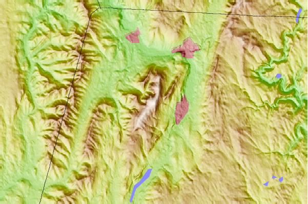
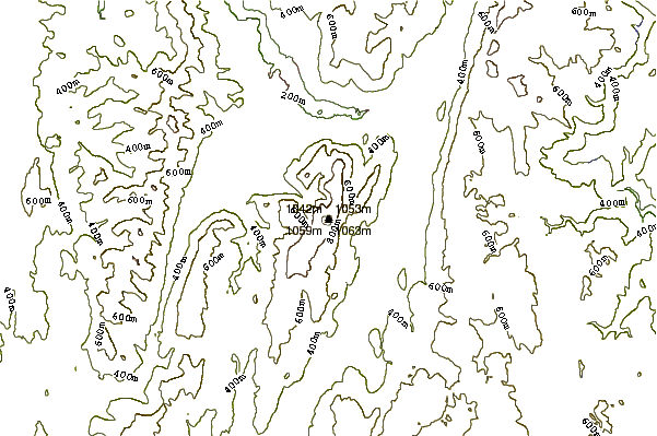
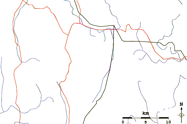
Use this relief map to navigate to mountain peaks in the area of Mount Greylock.
10 other mountain peaks closest to Mount Greylock:


 Like us
 Follow us
 Follow us