– Lat/Long: 44.16° N 71.64° W

UsMount Lafayette – Climbing, Hiking & Mountaineering information

Placeholder

Mount Lafayette mountain guide

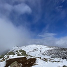
Amazing Hike, Mount Lafayette photo

Mount Lafayette

Photo credit: eric gaffin

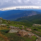
taking a rest, Mount Lafayette photo

Mount Lafayette

Photo credit: Eric Gaffin

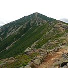
Mount Lafayette photo

Mount Lafayette

Photo credit: David LeFevre

Lafayette from Greenleaf Hut, Mount Lafayette photo

Mount Lafayette

Photo credit: Kevin Kilpatrick

  • Elevation: 1603 m
  • Difficulty:
  • Best months to climb:
  • Convenient center:

Mount Lafayette Climbing Notes

Jun from UNITED STATES writes:

Solo climb on a Friday morning.
Arrived in the am. Slept in the trailhead parking lot in my car till 7am when I started onto the Old Bridle Path. No fees to park. They have restrooms at the trailhead parking lot. 4 miles to the AMC hut which is closed during winter season. Trail was pretty much broken into so not hard to follow. Saw a few people trekking up with no snowshoes so it is manageable but more difficult. From the AMC hut about a mile to the summit. The steepest part of the trail to the summit lies a few hundred feet from the summit next to some very large boulders. Decided to turn back due to crampon issues. It took me 8 hours round trip at a slow pace with breaks in between.

2013-02-22

Click here to submit your own climbing note for Mount Lafayette

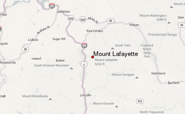
Mount Lafayette Location Map

Select Mount Lafayette Location Map Detail:


Latest Gallery Images for Mount Lafayette

visit the
gallery
or click to view
falling water fallsFranconia RidgeFranconia Ridge Franconia Ridge

Upload your photo of Mount Lafayette

Select a mountain summit from the menu
Select a Mountain Summit
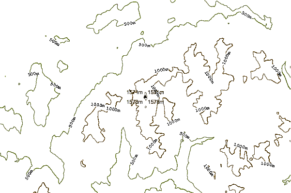
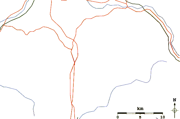
Surf breaks located close to Mount Lafayette Mountain peaks around Mount Lafayette Roads and rivers around Mount Lafayette

Use this relief map to navigate to mountain peaks in the area of Mount Lafayette.

10 other mountain peaks closest to Mount Lafayette:
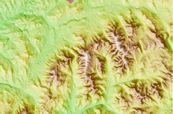
1. Mount Lafaytte (1603 m) 1.3 km
2. Mount Lincoln (New Hampshire) (1551 m) 1.3 km
3. Little Haystack Mountain (New Hampshire) (1463 m) 2.3 km
4. Owl's Head (Franconia, New Hampshire) (1227 m) 3.7 km
5. Mt Garfield (1372 m) 3.9 km
6. Cannon Mountain (New Hampshire) (1250 m) 4.3 km
7. Mount Liberty (New Hampshire) (1359 m) 5.0 km
8. The Cannon Balls (1148 m) 5.9 km
9. Mount Flume (1319 m) 5.9 km
10. Galehead Mountain (1226 m) 6.3 km