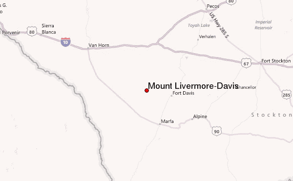
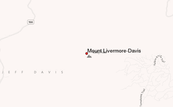
– Lat/Long: 30.64° N 104.17° W
 Mount Livermore-Davis – Climbing, Hiking & Mountaineering information
Mount Livermore-Davis – Climbing, Hiking & Mountaineering information
Mount Livermore-Davis guide
- Elevation: 2554 m
- Difficulty: Scramble
- Best months to climb: January, February, March, April, May, September, October
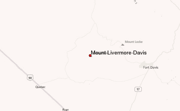
- Convenient center: Alpine
Mount Livermore-Davis Climbing NotesBe the first to submit your climbing note! Please submit any useful information about climbing Mount Livermore-Davis that may be useful to other climbers. Consider things such as access and accommodation at the base of Mount Livermore-Davis, as well as the logistics of climbing to the summit. |
| Select a
mountain summit from the menu |
||
|
Select a Mountain Summit
|
||
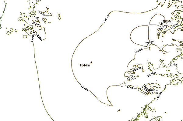
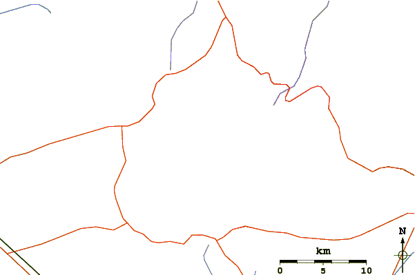
Use this relief map to navigate to mountain peaks in the area of Mount Livermore-Davis.
10 other mountain peaks closest to Mount Livermore-Davis:
| 1. | Needle Peak (Presidio County, Texas) (1404 m) | 138.9 km |
| 2. | El Capitan (2464 m) | 141.3 km |
| 3. | Hunter Peak (2551 m) | 153.4 km |
| 4. | Guadalupe Peak (2667 m) | 153.7 km |
| 5. | Bush Mountain (2548 m) | 157.1 km |
| 6. | Bartlett Peak (2593 m) | 157.7 km |
| 7. | Peak 7480 (2280 m) | 163.7 km |
| 8. | Emory Peak (2385 m) | 176.0 km |
| 9. | Cerro Alto Mountain (2043 m) | 224.5 km |
| 10. | Lost Peak (2387 m) | 250.0 km |

