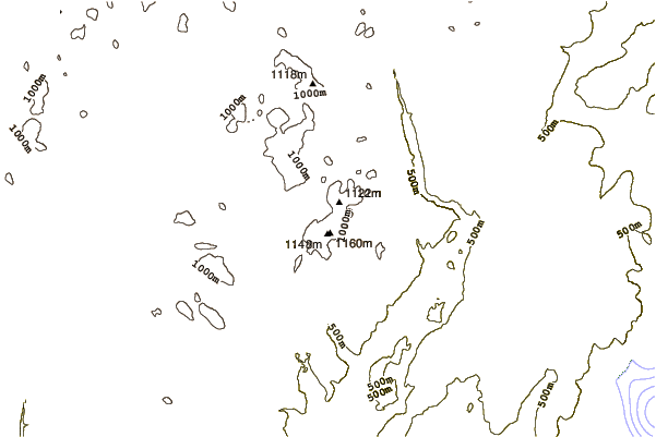
– Lat/Long: 47.32° N 70.83° W

CaMount Raoul Blanchard – Climbing, Hiking & Mountaineering information

Placeholder

Mount Raoul Blanchard mountain guide

  • Elevation: 1166 m
  • Difficulty: Walk up
  • Best months to climb: May, June, July, August, September, October
  • Convenient center:

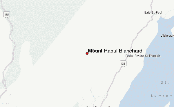
Mount Raoul Blanchard is the highest peak in the Laurentian Mountains, Quebec, Canada at 1,166 m (3,825 ft). It is located in the La Côte-de-Beaupré RCM, 64 kilometres (40 mi) north east of Quebec City and 19 kilometres (12 mi) north of Saint-Tite-des-Caps in the Réserve faunique des Laurentides.
Mount Raoul Blanchard Climbing Notes

Ashok Nadkarni from CANADA writes:

I wish to climb Mont Raoul Blanchard in early May,2024. Will you please send me information about where to stay and the contacts to help me to visit.
Thank you.

Ashok Nadkarni.
Cornwall.Ont.

2023-10-30

Click here to submit your own climbing note for Mount Raoul Blanchard

Mount Raoul Blanchard Location Map

Select Mount Raoul Blanchard Location Map Detail:


Select a mountain summit from the menu
Select a Mountain Summit
Surf breaks located close to Mount Raoul Blanchard Mountain peaks around Mount Raoul Blanchard Roads and rivers around Mount Raoul Blanchard

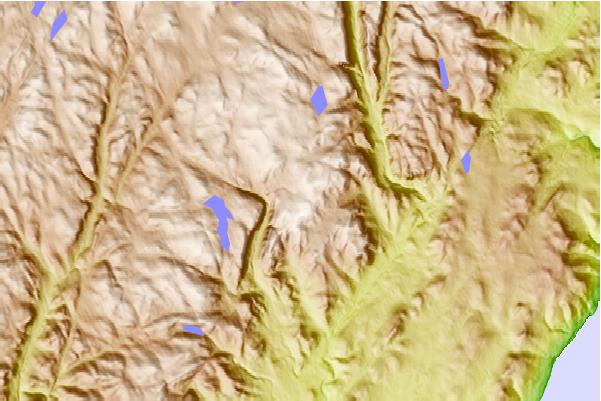
Use this relief map to navigate to mountain peaks in the area of Mount Raoul Blanchard.

10 other mountain peaks closest to Mount Raoul Blanchard:
1. Le Massif de Charlevoix (800 m) 17.4 km
2. Mont-Sainte-Anne DH Park (797 m) 26.4 km
3. Mont-Bélu Bike Park (190 m) 111.7 km
4. Mount Valin (980 m) 144.8 km
5. Sandy Bay Mountain (950 m) 177.1 km
6. Boundary Bald Mountain (1109 m) 179.1 km
7. Mont Ham (713 m) 180.6 km
8. Mount Kineo (545 m) 198.6 km
9. Big Spencer Mountain (977 m) 201.9 km
10. Mont Chapman (658 m) 204.7 km