Mount Sir Donald guide
- Elevation: 3284 m
- Difficulty: Technical Climb
- Best months to climb: Summer
- Convenient center: Golden B.C.
Mount Sir Donald Climbing Notes
Paul from CANADA writes:
Get up there while you can. Expect pockets of verglass on the north face for the summit zone. Otherwise, temps and conditions are perfect. Crazy for October, but temps appear to be deteriorating by Tuesday. Also, water source is mainly still water at lower bivy. Some pockets of running surface water, but minimal. Climbed Wednesday, Oct. 5.
2022-10-08 |
Click here to submit your own climbing note for Mount Sir Donald
|

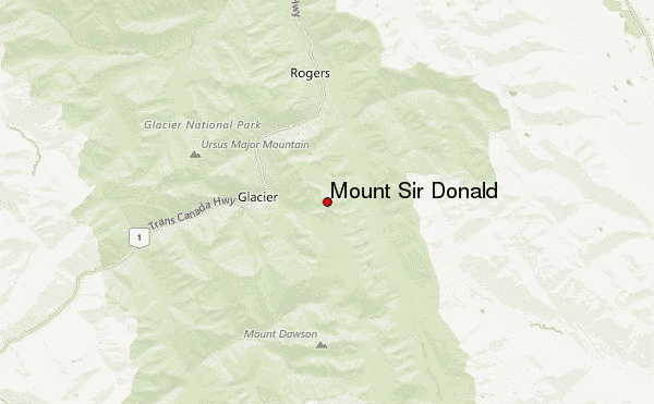
Select Mount Sir Donald Location Map Detail:
Use this relief map to navigate to mountain peaks in the area of Mount Sir Donald.
10 other mountain peaks closest to Mount Sir Donald:


 Like us
 Follow us
 Follow us