Mt Tecumseh guide
- Elevation: 1220 m
- Difficulty: Walk up
- Best months to climb: January, February, May, June, July, August, September, October, November, December
- Convenient center: Waterville Valley
Mt Tecumseh Climbing Notes
M. Petta from UNITED STATES writes:
Party of five hiked Mount Tecumseh today, 22 November 2018, Thanksgiving. The trail was covered in snow--anywhere from eight to twelve inches in parts. We wore microspikes only, and they worked well enough, although in certain places the snow was too loose for spikes to help. Temperatures were terribly cold, about three degrees at Waterville Valley and twenty below with the wind chill at the summit. We started at 1115 and returned at 1545, going up and down the Tecumseh Trail.
2018-11-23 |
Click here to read 1 more climbing note for Mt Tecumseh or submit your own
|

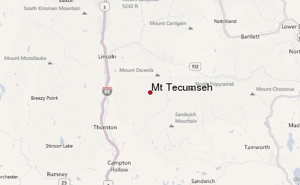
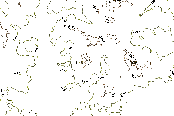
Select Mt Tecumseh Location Map Detail:
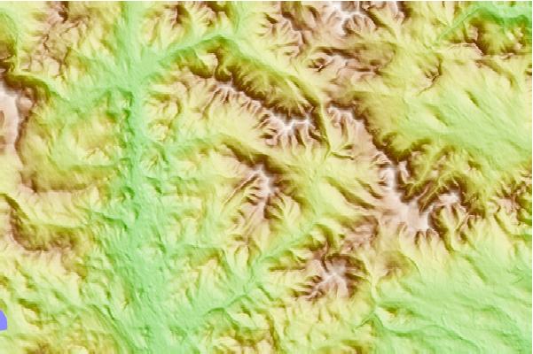
Use this relief map to navigate to mountain peaks in the area of Mt Tecumseh.
10 other mountain peaks closest to Mt Tecumseh:


 Like us
 Follow us
 Follow us