– Lat/Long: 1.38° S 29.67° E
 Muhabura or Muhavura – Climbing, Hiking & Mountaineering information
Muhabura or Muhavura – Climbing, Hiking & Mountaineering information
Muhabura or Muhavura guide
- Elevation: 4127 m
- Difficulty: Walk up
- Best months to climb: January, May, June, September, December
- Convenient center: Ruhengeri
Muhabura or Muhavura Climbing Notes
Click here to submit your own climbing note for Muhabura or Muhavura |

| Select a
mountain summit from the menu |
||
|
Select a Mountain Summit
|
||


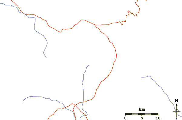
Use this relief map to navigate to mountain peaks in the area of Muhabura or Muhavura.
10 other mountain peaks closest to Muhabura or Muhavura:
| 1. | Mount Gahinga (3474 m) | 3.1 km |
| 2. | Mount Sabyinyo (3645 m) | 8.1 km |
| 3. | Bufumbira (2440 m) | 17.6 km |
| 4. | Bisoke or Visoke (3711 m) | 22.2 km |
| 5. | Mount Karisimbi (4507 m) | 27.9 km |
| 6. | Gahinga (3525 m) | 45.4 km |
| 7. | Nyiragongo (3469 m) | 49.3 km |
| 8. | Nyamuragira (3058 m) | 52.4 km |
| 9. | Murara (3057 m) | 52.4 km |
| 10. | Mount Nyamuragira (3058 m) | 52.4 km |

