Nirekha guide
- Elevation: 6069 m
- Difficulty:
- Best months to climb:
- Convenient center:
Nirekha Climbing Notes
Hazem El Shamy from EGYPT writes:
Easy to access from Dzongla if climbing the west ridge. Set up base camp at the foot of the glacier.
About 15 hours round trip (BC-BC) at a reasonable pace. Can be done in 8-10 hours for a fast team. Glacier travel is short but beware of crevasses. Once you get on the ridge, the climbing is straight forward. Crux pitch is about 150m from the summit as you exit the ridge and get onto the glaciated slopes of the west face, a couple of sketchy moves traversing a snow bulge and then heading straight up, needs decent snow conditions.
2022-01-12 |
Click here to submit your own climbing note for Nirekha
|
Select Nirekha Location Map Detail:
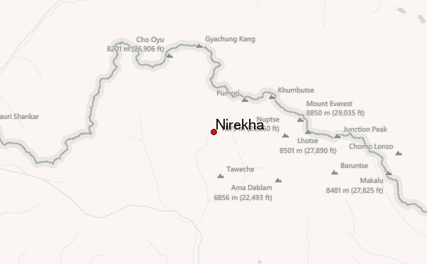
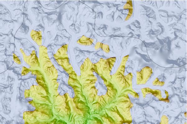
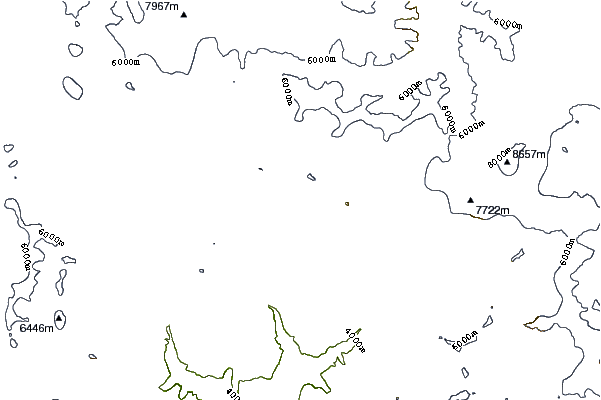
Use this relief map to navigate to mountain peaks in the area of Nirekha.
10 other mountain peaks closest to Nirekha:
 Nirekha – Climbing, Hiking & Mountaineering information

