Kent from UNITED STATES writes:
I've actually climbed this peak dozens of times for training, but never knew it was a "peak". I tried to look up any information on it, but the name "Petkash" doesn't appear on any other maps I could find, and even a Google search generally comes up blank except for Mountain Forecast, and one tiny street named "Petkash Peak Ct". Does anyone have any background on the name of this peak? Is it referenced somewhere in a map or book? Seems like it just came out of nowhere on Mountain-Forecast.
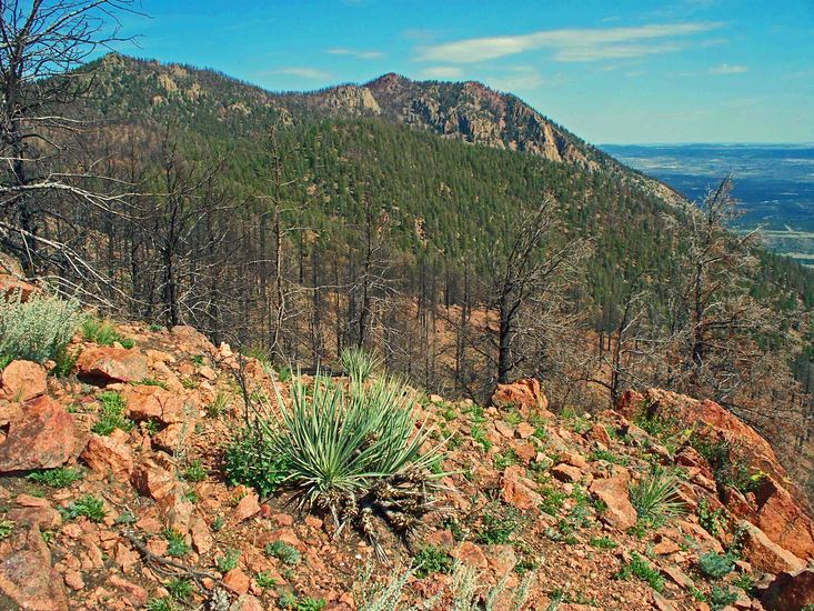
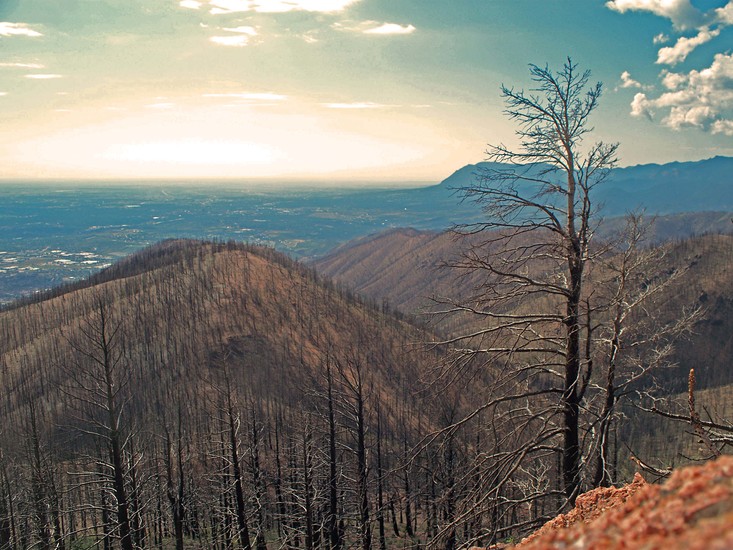
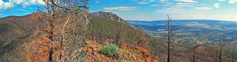
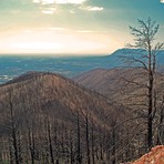
Anyway, the best way up is to take the south trail from the main Blodgett Open Space trailhead. This is called "Dry Creek Loop". Take this to where it T's off, and hang a right. Then, quickly take the next left on to "Red Squirrel Trail". Follow this up, until you come to a junction with several trails. Stay straight until you come to an overlook. Shortly after that is a turnoff on your right to Wagon Wheel Trail. Follow this, generally always making a right until you come to another open space with trails in a few directions. At this point, the best way is to go slightly to the left up a ridge that leads all the way to the top. There's a faint social trail that eventually fades away, but if you continue to follow the ridge, you'll get there. Alternatively, you can veer to the right at the junction and go up the gully... eventually leaving the trail as you approach a saddle point, and then bushwacking to the summit. The route finding is a little more tricky this way though.
2026-05-17 |
 Petkash Peak – Climbing, Hiking & Mountaineering information


