– Lat/Long: 40.53° N 111.70° W
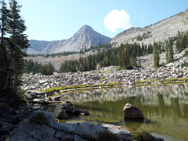
 Pfeifferhorn
Weather Forecast, United StatesIssued: 5 am Tue 12 May Local TimeUpdates in: hr min sUpdate imminent
Issued: 5 am Tue 12 May Local Time
Updates in:
Update imminent hr min s

Issued: 5 am Tue 12 May Local Time
Updates in:
Update imminent hr min s
Days 1–3 Weather SummaryMostly dry. Freeze-thaw conditions (max 12°C on Tue night, min -1°C on Thu morning). Winds increasing (light winds from the SW on Tue morning, gales from the WSW by Wed night). | Days 4–6 Weather SummaryA light covering of new snow mostly falling on Sun morning. Freeze-thaw conditions (max 5°C on Fri afternoon, min -6°C on Sun morning). Winds decreasing (strong winds from the W on Fri night, calm by Sun afternoon). | |||||||||||||||||
Tuesday 12 | Wednesday 13 | Thursday 14 | Friday 15 | Saturday 16 | Sunday 17 | |||||||||||||
AM | PM | night | AM | PM | night | AM | PM | night | AM | PM | night | AM | PM | night | AM | PM | night | |
clear | clear | clear | some clouds | some clouds | clear | clear | clear | clear | clear | clear | some clouds | some clouds | cloudy | some clouds | mod. snow | light snow | some clouds | |
km/h | ||||||||||||||||||
 |  |  |  |  |  | |||||||||||||
— | — | — | — | — | — | — | — | — | — | — | — | — | — | — | 6 | 1 | — | |
— | — | — | — | — | — | — | — | — | — | — | — | — | — | — | — | — | — | |
max °C | 10 | 11 | 12 | 9 | 9 | 8 | 0 | 2 | 4 | 3 | 5 | 4 | 3 | 2 | 1 | -6 | -4 | -5 |
min °C | 10 | 11 | 10 | 8 | 8 | 0 | -1 | 1 | 2 | 2 | 5 | 3 | 3 | 2 | -5 | -6 | -5 | -6 |
8 | 9 | 6 | 4 | 3 | -6 | -7 | -4 | -3 | -2 | 0 | -2 | -2 | -3 | -11 | -11 | -9 | -6 | |
4700 | 4750 | 4800 | 4500 | 4550 | 4050 | 3350 | 3650 | 4000 | 3800 | 4050 | 4000 | 3850 | 3650 | 3350 | 2550 | 2800 | 2650 | |
Cloud base (m) | 5950 | 4900 | 9000 | 8800 | 4800 | 4700 | 4950 | 6400 | 2200 | 2550 | 2750 | |||||||
6:13 | — | — | 6:11 | — | — | 6:11 | — | — | 6:09 | — | — | 6:09 | — | — | 6:07 | — | — | |
— | 8:32 | — | — | 8:34 | — | — | 8:35 | — | — | 8:36 | — | — | 8:37 | — | — | 8:37 | — | |
Loading...
Pfeifferhorn Weather (Days 0-3):
The weather forecast for Pfeifferhorn is: Mostly dry. Freeze-thaw conditions (max 12°C on Tue night, min -1°C on Thu morning). Winds increasing (light winds from the SW on Tue morning, gales from the WSW by Wed night).
Pfeifferhorn Weather (Days 3-6):
A light covering of new snow mostly falling on Sun morning. Freeze-thaw conditions (max 5°C on Fri afternoon, min -6°C on Sun morning). Winds decreasing (strong winds from the W on Fri night, calm by Sun afternoon).
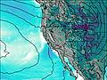
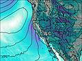
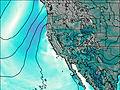
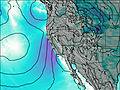
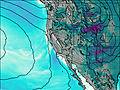
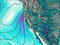
This table gives the weather forecast for Pfeifferhorn at the specific elevation of 3452 m. Our advanced weather models allow us to provide distinct weather forecasts for several elevations of Pfeifferhorn. To see the weather forecasts for the other elevations, use the tab navigation above the table. For a wider overview of the weather, consult the Weather Map of Utah.
Pfeifferhorn Photos
View all
Wasatch Range photos (13) |
Rocky Mountains (USA) photos (298) |
photos from mountains in United States (3035) |
all photos
 Upload new photo
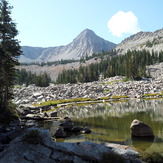
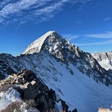
Mt. Pfeifferhorn
Winter Ascent