– Lat/Long: 42.85° N 0.43° W
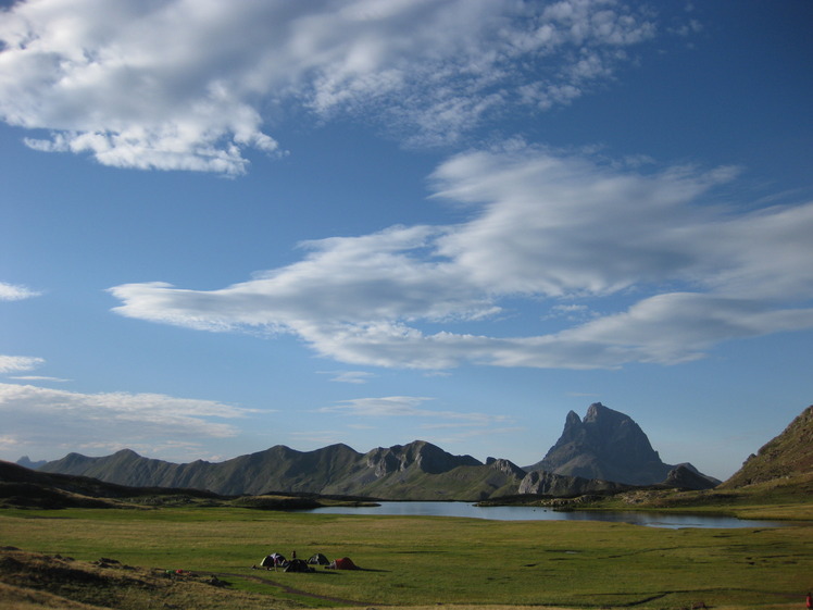
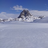
 Pic du Midi d'Ossau
Weather Forecast, FranceIssued: 1 pm Sat 19 Apr Local TimeUpdates in: hr min sUpdate imminent
Pic du Midi d'Ossau Weather Forecast, France
Issued: 1 pm Sat 19 Apr Local Time
Updates in:
Update imminent hr min s

Issued: 1 pm Sat 19 Apr Local Time
Updates in:
Update imminent hr min s
Days 1–4 Weather SummaryA moderate fall of snow, heaviest on Sat afternoon. Freeze-thaw conditions (max 2°C on Mon afternoon, min -3°C on Sat afternoon). Wind will be generally light. | Days 5–7 Weather SummaryA dusting of new snow. Freeze-thaw conditions (max 8°C on Thu afternoon, min 0°C on Tue night). Wind will be generally light. | ||||||||||||||||
Sat 19 | Sunday 20 | Monday 21 | Tuesday 22 | Wednesday 23 | Thursday 24 | ||||||||||||
PM | night | AM | PM | night | AM | PM | night | AM | PM | night | AM | PM | night | AM | PM | night | |
mod. snow | light snow | some clouds | some clouds | snow shwrs | clear | light rain | light rain | cloudy | light snow | some clouds | clear | clear | clear | clear | clear | clear | |
km/h | |||||||||||||||||
 |  |  |  |  |  | ||||||||||||
9 | 3 | — | — | 3 | — | — | — | — | 1.0 | — | — | — | — | — | — | — | |
— | — | — | — | — | — | 0.4 | 0.1 | — | — | — | — | — | — | — | — | — | |
max°C | -2 | -3 | -1 | 0 | 0 | 1 | 2 | 2 | 2 | 2 | 1 | 2 | 5 | 4 | 6 | 8 | 6 |
min°C | -3 | -3 | -3 | -1 | -1 | 0 | 2 | 1 | 1 | 1 | 0 | 0 | 4 | 3 | 4 | 8 | 5 |
-8 | -8 | -8 | -3 | -5 | -2 | 1 | 1 | 1 | -1 | -3 | -4 | 0 | -1 | 1 | 6 | 3 | |
1650 | 1550 | 1800 | 2000 | 1900 | 2250 | 2350 | 2200 | 2250 | 2250 | 2150 | 2500 | 2750 | 3150 | 3150 | 3200 | 3200 | |
Cloud base (m) | 1600 | 1650 | 1650 | 1700 | 1700 | 1750 | 2050 | 2200 | 2150 | 1600 | 1800 | 2350 | 2100 | 4550 | 2600 | ||
— | — | 7:13 | — | — | 7:11 | — | — | 7:09 | — | — | 7:07 | — | — | 7:05 | — | — | |
— | 8:46 | — | — | 8:49 | — | — | 8:50 | — | — | 8:51 | — | — | 8:52 | — | — | 8:52 | |
Loading...
Pic du Midi d'Ossau Weather (Days 0-3):
The weather forecast for Pic du Midi d'Ossau is: A moderate fall of snow, heaviest on Sat afternoon. Freeze-thaw conditions (max 2°C on Mon afternoon, min -3°C on Sat afternoon). Wind will be generally light.
Pic du Midi d'Ossau Weather (Days 3-6):
A dusting of new snow. Freeze-thaw conditions (max 8°C on Thu afternoon, min 0°C on Tue night). Wind will be generally light.
This table gives the weather forecast for Pic du Midi d'Ossau at the specific elevation of 2000 m. Our advanced weather models allow us to provide distinct weather forecasts for several elevations of Pic du Midi d'Ossau. To see the weather forecasts for the other elevations, use the tab navigation above the table. For a wider overview of the weather, consult the Weather Map of France.
| Weather Station | Temp. | Weather | Wind | Gusts | Cloud / Visibility |
|---|---|---|---|---|---|
Candanchu | |||||
Pau -Uzein | |||||
Huesc / irineos | |||||
FNDA_Higa de Monreal | |||||
Pamplona Airport |
* NOTE: not all weather observatories update at the same frequency which is the reason why some locations may show data from stations that are further away than known closer ones.
Pic du Midi d'Ossau Photos
View all
photos (95) |
Pyrenees photos (134) |
photos from mountains in France (280) |
all photos
 Upload new photo
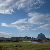
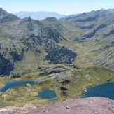
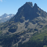
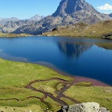
solos frente al midi
Lagos ayous
pic midi d ossau
Midi
Pic du Midi d'Ossau

