– Lat/Long: 19.03° N 97.27° W

MxPico de Orizaba – Climbing, Hiking & Mountaineering information

Placeholder

Pico de Orizaba mountain guide

Pico de Orizaba (Citlaltepetl) from Tlachichuca  photo

Pico de Orizaba

Photo credit: Guillermo Vidales Reyes

Pico de Orizaba photo

Pico de Orizaba

Photo credit:

Pico de Orizaba Climbing route 2012 photo

Pico de Orizaba

Photo credit: Guillermo Vidales Reyes

Pico de Orizaba, Jamapa glacier photo

Pico de Orizaba

Photo credit: Guillermo Vidales Reyes

Glaciar Jamapa, Pico de Orizaba photo

Pico de Orizaba

Photo credit: Jehú Hinojosa

  • Elevation: 5610 m
  • Difficulty:
  • Best months to climb: December, January, February, March, April
  • Convenient center: Tlachichuca, Mexico

Pico de Orizaba Climbing Notes

Ivan Loredo Vidal from MEXICO writes:

Covid 2020 update (26 july 2020).

Though typically the climbing season runs from October to april, it can be climbed year round.

Summer time is the rainy season with some storms, rain & snow, making it less accessible.

Since 21 march 2020, it has been officially covid closed (particularly for the tour operators).

I will soon go with 2 clients to see if a) it can be accessed, and b) if the weather allows us to climb it.

Will report back asap.

News and pics about it in my facebook page: Ivan Loredo-Vidal and Instagram: ivanloredovidal

2020-07-25

Click here to read 5 more climbing notes for Pico de Orizaba or submit your own

Pico de Orizaba Location Map

Select Pico de Orizaba Location Map Detail:


Latest Gallery Images for Pico de Orizaba

visit the
gallery
or click to view
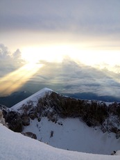
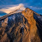
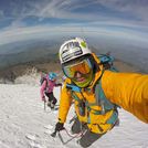
Sunrise at Pico de OrizabaPico de Orizaba or CitlaltepetlHiking on Pico de OrizabaPico de Orizaba near the summit

Upload your photo of Pico de Orizaba

Select a mountain summit from the menu
Select a Mountain Summit
Surf breaks located close to Pico de Orizaba Mountain peaks around Pico de Orizaba Roads and rivers around Pico de Orizaba

Use this relief map to navigate to mountain peaks in the area of Pico de Orizaba.

10 other mountain peaks closest to Pico de Orizaba:

1. Sierra Negra (4640 m) 7.3 km
2. Cofre De Perote (4283 m) 52.4 km
3. Malinche (4462 m) 83.2 km
4. Matlalcueitl (volcano) (4462 m) 83.4 km
5. Popocatepetl (5452 m) 142.5 km
6. Iztaccihuatl (5286 m) 145.4 km
7. Telepon (4081 m) 146.3 km
8. Tlalocatepetl (4119 m) 146.3 km
9. Papayo (3600 m) 153.7 km
10. Mount Tlaloc (4151 m) 158.2 km