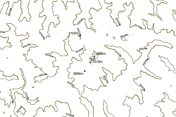
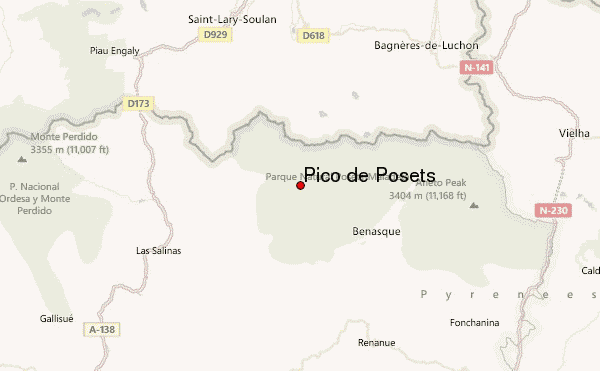
Pico de Posets. Llardana. 3375m.
Tuesday 13-8-2013 at 11:30 we reached the top of the 2nd highest peak in the Pyrenees.
At 7:00 we left refugio Angel Orus at 2100m for the climb of the mountain from the south know as the normal route.
The first hour you follow the marked path GR11 to the point where the ascent of the pico starts at 2500m marked by the Posets stone. On your way you pass an area with big rocks and you cross the river Torrente de Llardanetta.
From there you walk to Canal Funda. The valley beholds the glacier. Even at this time of the year the snow field is the only way to the top. As the glacier was very slippy (thin layer of snow on ice) you need crampons to cross the snow field. On the way back I tried to glide down without crampons but that was dangerous and I had to slow down my glide using my pickel.
Do not try to climb the rocks on the right of the glacier. At the left there might be a path. But the glacier is the most save route to the top. Collado del diente. 3000m.
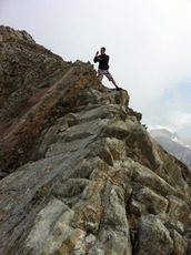
You climb the entire glacier with crampons. At the end of the glacier you go to the right to the start of the mountain ridge that goes all the way to the top. The route is the centre of the ridge. Some parts are very safe and broad. Some are small and scary.
After 4:30h from the refugio at 11:30 we reached the top of the Pico de Posets. We were the only 2 climbers that day. There is about room for 50 people on the top. So a safe place to rest. The top is marked by a damaged concrete pole. The view from the top is fantastic.
As the weather conditions were changing to worse. We left the pico for the climb back to the refugio. It took us 3 h to return to the refugio.
We also did the descent to Eriste later that day to enjoy the luxe of a hotel in the valley.
Arjan Buitenhuis - NED
Henk de Weerd - NED


 Like us
 Follow us
 Follow us