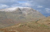
Red Screes guide
- Elevation: 776 m
- Difficulty:
- Best months to climb:
- Convenient center:
Red Screes Climbing Notes
|
| Select a
mountain summit from the menu |
||
|
Select a Mountain Summit
|
||


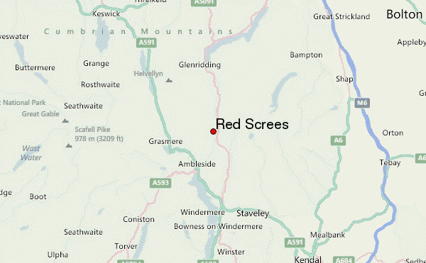
Use this relief map to navigate to mountain peaks in the area of Red Screes.
10 other mountain peaks closest to Red Screes:
| 1. | Middle Dodd (654 m) | 0.9 km |
| 2. | Little Hart Crag (637 m) | 1.7 km |
| 3. | High Hartsop Dodd (519 m) | 2.1 km |
| 4. | High Pike (Scandale) (656 m) | 2.3 km |
| 5. | Stony Cove Pike (763 m) | 2.5 km |
| 6. | Low Pike (508 m) | 2.5 km |
| 7. | Dove Crag (792 m) | 2.8 km |
| 8. | Troutbeck Tongue (364 m) | 3.4 km |
| 9. | Hartsop Dodd (618 m) | 3.5 km |
| 10. | Hartsop above How (586 m) | 3.6 km |


 Like us
 Follow us
 Follow us